
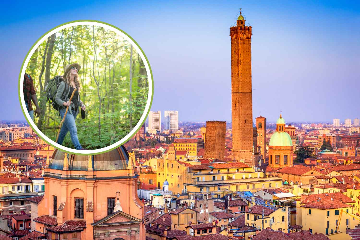
There is a Bologna that cannot be seen from the arcades of the center, nor from the terraces of the restaurants on the Rhine. It is a Bologna that begins where the asphalt ends, where the CAI signs replace the road signs and where the noise of the city gives way to the sound of the water, of the wind among the chestnut trees, of footsteps on the beaten earth.
The Tuscan-Emilian Apennines are not far away – it is almost a natural extension of the city, reachable in an hour’s drive or less – yet many Bolognese frequent it only in their minds. A shame, because what you find on these paths is often surprising: rocky gorges, panoramic crosses, caves explored by speleologists, gorges that seem to come out of a fairy tale. This article collects 5 routes with different difficulty and character, all capable of giving back something that the plain cannot give.
The Bregoli path
If there is a path that belongs to Bologna’s identity, it is this. The Bregoli – or Brigoli, or Breguàl, depending on who pronounces them – connect Casalecchio di Reno to the Basilica of San Luca along the Via de’ Bregoli, a route that is not just a shortcut between two points but a place full of history, popular devotion and an urban-natural landscape like few exist in Italy.
The CAI 112/A path starts from the church of San Martino, at the entrance to the Talon Park (or Parco della Chiusa) in Casalecchio, and ends near the Basilica on Monte della Guardia, covering approximately 1.7 km in the direction of Via di Monte Albano. It is not a flat route: the slopes are quite challenging and the overall height difference of the excursion, which extends for about 4 km in total, reaches 195 metres. The average time to complete it is between an hour and a half and two hours, but it depends a lot on your pace and stops.
Along the route you come across a Via Crucis that unites the two churches in a mix of landscape and spirituality. The “Pizzacherra leap” – which takes its name from the stream that runs alongside the path – is one of the most evocative points, as are the views that open onto Casalecchio and the valley. In the woods that flank the route, flora and fauna coexist in constant movement, and those with an eye and patience can find themselves face to face with something unexpected. Less romantic but historically significant is the bomb shelter from the Second World War, which reminds us that these woods also experienced years that were anything but peaceful. Since 2011, a further observation point has been added, the #pietrabregoli, overlooking the Pliocene Buttress.
The people of Bologna are very fond of the Bregoli, and they demonstrate it every year on Easter Monday, when tradition dictates that you take the trip from Casalecchio to San Luca – or vice versa – and then descend along the famous porticoes. It is one of those collective rituals that stand the test of time and that say something true about how a city relates to its spaces.
View this post on Instagram
Gaea Ravine
The Orrido di Gea is a naturalistic trekking site in the Tuscan-Emilian Apennines, near the hamlet of Villa d’Aiano (Castel d’Aiano, Bologna), immersed in chestnut and hornbeam woods and characterized by a natural canyon carved out by the water, ancient abandoned mills and suggestive rock formations.
The traditional route starts from Villa d’Aiano following marked paths (e.g. CAI 400/3 and CAI 456), with sections that run along the Rio Gea / Poiarolo, fords and small waterfalls. Walking for about 1–3 hours (depending on the itinerary chosen) you reach the actual ravine, where nature appears wild and not very anthropized. For the fittest it is possible to complete a longer loop with greater height differences.
The place has no formal tourist infrastructure, so technical clothing (trekking shoes, water and suitable equipment) is important, and sometimes the paths can be poorly marked or damp after rains.
View this post on Instagram
Cross of the Swan
From Lustrola, a small town on the Bolognese Apennines, one of the most complete and varied itineraries in the area starts, which leads to the Croce del Cigno, one of the most beautiful panoramic points of the entire ridge. The name could be misleading: “Swan” has nothing to do with the bird, but probably derives from “Cinghio”, a term that indicates the flat protrusion of a rock. And it is precisely on a similar rocky terrace, facing south, at an altitude of 1179 metres, that there is the wooden cross about seven meters high and a panorama that extends from the Reno Valley to Monte Gennaio, at the foot of Corno alle Scale.
The route starts from the small square Mauro Lenzi, in front of the church of San Lorenzo (750 m), climbs towards the cemetery and takes the CAI 103a path, which crosses pylons and a small pine forest before climbing with steeper ramps towards the “Ladra crossroads” at 900 metres, where it joins the CAI 103 path. From here the route goes around the Sasso della Corona on the northern side and climbs up to a fir forest in proximity to the summit, where Malpasso Alto (1050 m) is located. Following the trail signs through chestnut groves and woods you reach the Croce del Cigno, crossing an easy rocky step that offers a small dose of adventure.
The return is on a forest road, with an up and down route that circumnavigates the top of Monte di Granaglione and allows you to find, among other things, the Fonte del Conizzo (1150 m) and the Fonte della Docvòla (1115 m): two springs of pure water, perfect for catching your breath. A series of hairpin bends then takes you back towards Lustrola, passing through the Chiesina di San Rocco and the “Verginina” della Serra di sopra, to conclude the tour with a slight descent to the starting point. In total you travel about 8 km with a difference in altitude of 470 metres, for an estimated time of around 3 hours and 40 minutes: medium difficulty, especially given the length.
View this post on Instagram
The Fairytale Path
Still in the Castel d’Aiano area, but with a completely different character, the Path of Fables is the right path for those who want something wilder — and for those who want to bring the children without boring them. The starting point is located at the Cross of Castel d’Aiano: take the road to Villa d’Aiano and after about 300 metres, on the left, you will find the sign for path 194. Go up to a plateau, then follow the 194/A until the sign 194/B, which leads to the bed of a stream.
This is where the journey really begins. In spring the bed of the stream is a lush expanse of ferns and wild orchids. Beyond the stream, a gorge opens up with enormous fractures in the rock, with evident erosion phenomena and surprising fauna: small mammals, birds, and the falcon, which nests in the area. A stretch of path protected by ropes on poles leads to the “Wild Man’s Lair”, a natural cavity of tectonic origin explored by the Bolognese Speleological Group. The cave was traversed 54 meters deep up to a vertical shaft of over ten meters, still unexplored. Bats and cave-dwelling insects such as completely white blind crickets live inside. It cannot be explored without speleological guides, but the first 8-10 meters of the first room are accessible to all.
Following the directions you then climb to Picco del Falco, from which a panorama opens up over the Villa valleys and the Panaro river. Path 456 finally allows you to exit the woods and return to the center of Castel d’Aiano, passing near the school and the sports centre. The route is accompanied by a series of legends linked to the places – downloadable from the municipality’s website – which make it particularly suitable even for younger people, as preparation for the excursion or as a story during the walk.
View this post on Instagram
Nature Trail “Africa and the Old Cultivations”
The Nature Trail “Africa and the Old Farms” is a 1.5 km circular hiking route in the Monteveglio Abbey Regional Park (between Valsamoggia and Monteveglio, Province of Bologna), designed to explore the different hilly environments, woods, gullies and historic agricultural areas of the area. The route starts near the Monteveglio Alto Cemetery and takes approximately 1-2 hours of walking, with difficulty classified as E – hiking, also suitable for not too expert walkers as long as they are equipped for natural paths and muddy sections after rain. During the route you pass through hilly woods with rich flora (including undergrowth with orchids and herbaceous species), you descend towards the area of the “old cultivations”, witnesses of the ancient agricultural use of the landscape, and you return to the starting point in a varied ring from a naturalistic and historical point of view.
Tane Path
The Sentiero delle Tane is a circular hiking itinerary in the Bolognese Apennines, near the Labante Caves, in the territory of Castel d’Aiano. The route extends for approximately 8 km (variable depending on the chosen route), with a difference in altitude of approximately 350–370 meters and an average travel time of 2.5–3 hours. The route alternates woods, clearings and panoramic views, touching the suggestive limestone formation of the caves, among the most particular in Emilia-Romagna. Difficulty E (hiking), trekking shoes are recommended and be careful after rain due to slippery sections.
View this post on Instagram