
After a September marked by still high temperatures and few organized disturbances, Italy is preparing for a possible change of scenario. The end of the month remains under the sign of high pressure, but weather maps indicate a possible turning point in the first part of October.
The transition from summer to autumn has already made itself felt on the temperature front: the very hot days have given way to values closer to the season, especially in the morning and at night. The situation is different for the rains; the actual autumn disturbances, those capable of bringing widespread rainfall, have not yet arrived.
September ends with the anticyclone over Italy
The last days of September will be characterized by the presence of a vast high pressure field that will connect the Azores area with Eastern Europe. A configuration that will favor stable conditions over a large part of the country and keep Atlantic disturbances away.
Some disturbances may still affect the Adriatic side and some areas of the South, where there will be episodes of instability with possible local storms. The North, however, will remain largely excluded from significant rainfall.
On the weekend of 26 and 27 September the sky will therefore be predominantly clear or slightly cloudy from North to South. Temperatures will be cool in the morning, with values around 10-14 °C in the Centre-North, but in the afternoon they can reach 26-28 °C again.
End of September still above the climatic average
Between Monday 28th and Wednesday 30th September the meteorological picture will change little. High pressure will continue to dominate the scenario, with few clouds and almost no precipitation.
According to forecast maps, only some areas of Sicily and Calabria could see brief showers. In the rest of Italy the sun will prevail.
Temperatures will remain above the average for the period: values between 27 and 29 °C will be possible in various areas of the Centre-North and the South. In some cities, including Rome, a temporary return above 30 °C is not excluded.
First signs of change in October
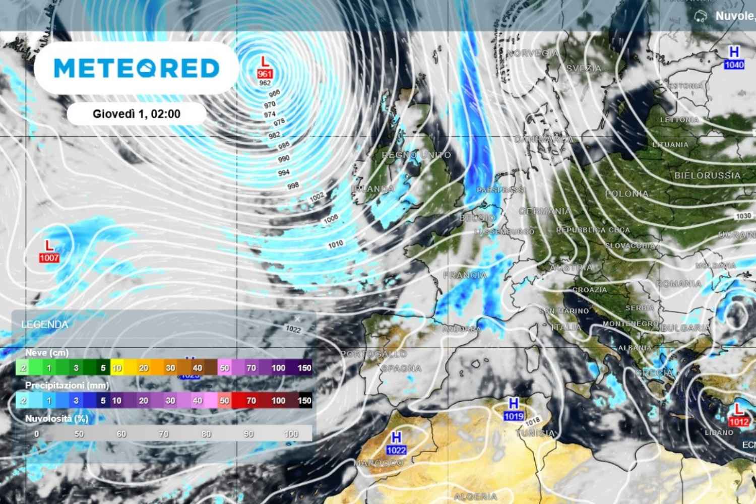
However, the first week of October could open a different phase. Between October 1st and 4th, a weakening Atlantic disturbance could reach at least part of Italy.
The most exposed areas could be the North, the Alps, Liguria and upper Tuscany, with possible rain between Friday 2nd and Saturday 3rd October. Some phenomena could also affect other areas of the Centre-North and, more marginally, the South.
Temperatures are expected to drop, although values of around 25°C in October would still remain above the climatic norm for many Italian areas.
The possible turning point in the week from 5 to 12 October
The most interesting scenario concerns the following week. The medium-term forecasts of the ECMWF model indicate a possible wetter and rainier phase in the Mediterranean, with Italy among the areas that could receive above-average rainfall.
This is not yet a detailed forecast, but a trend: the maps show the possibility of some disturbed passages typical of autumn.
However, the quantity and distribution of rainfall remain to be defined. The risk, as often happens in recent years, is that the precipitation arrives in the form of intense and concentrated phenomena, with thunderstorms and possible cloudbursts, instead of long and widespread rains.
When the first real autumn storm might arrive
To talk about a real autumn turning point we will have to wait for the updates in the next few days. At the moment the indications suggest a possible opening towards more dynamic conditions in the first half of October.
After a September dominated by high pressure, the arrival of organized disturbances would still be important for many areas of the country, especially after months characterized by drought and above-average temperatures.
The so-called “equinoctial storm” could therefore arrive a few weeks late, but its possible entry remains one of the scenarios to monitor for the beginning of autumn.
