
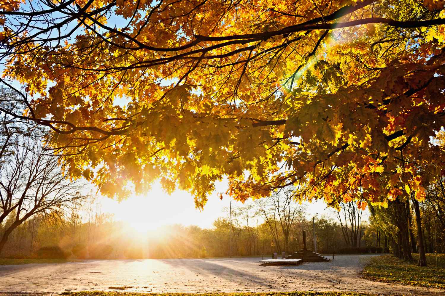
There are those who will take out their umbrellas and those who, in mid-November, could still find themselves in short sleeves. The 2026 San Martino Summer, which falls on Wednesday 11 November, arrives with an Italy divided in two: rain and wind in the Centre-North, almost summer-like temperatures in the South and on the Islands, where some forecasts hypothesize peaks of up to 28-29°C. But why are we calling summer these days of November? And above all, how long will this period of heat last?
Why is it called St. Martin’s Summer?
To find the origin of this expression we need to go back to the 4th century, when Martin, a Roman soldier destined to become bishop of Tours, met a cold beggar at the gates of Amiens, in what is now France.
According to legend, Martino had no money to offer him. So he took the sword, cut his cloak in two and gave one half to the man. Soon after, the sky cleared and an unusually warm, almost summery sun appeared.
This is where the expression St. Martin’s Summer comes from, associated with those few days of good weather that sometimes interrupt the autumn cold around November 11th.
An old saying goes that it lasts three days and a little. But of course there is no fixed meteorological appointment: it can arrive earlier, later or not at all.
The anniversary also had a very concrete meaning for the peasant world. Around San Martino many agricultural contracts were concluded, houses were moved and new wine was tasted. Hence the expression “fare San Martino”, still used in some regions to indicate a move.
Wednesday 11 November: where will it be warmest?
This year the warmth of San Martino will not cover all of Italy. Indeed, on the day of the anniversary, an Atlantic disturbance will approach the northern regions, while southern winds will transport warmer air towards the South.
The highest temperatures are expected especially in Sicily, Calabria, Puglia and Sardinia.
According to the projections reported by Meteo Giornale, among the places that could record the highest values are Palermo and Catania, with peaks of up to 29°C. Messina and Syracuse could reach 28°C, while in Cagliari, Tortolì and Reggio Calabria maximum temperatures are expected to be around 27°C.
Still notable values for November, even if not all forecasts agree on such high peaks. The Sicilian Meteorological Center, for example, indicates maximum temperatures for Wednesday generally between 22 and 25°C on the island, with locally higher peaks. In the North the scenario will be very different. In the Po Valley, temperatures will remain lower, with Milan around 15°C according to the projections mentioned, while clouds and rain will limit daytime heating.
Bad weather arrives on Thursday 12 November: the regions most at risk
The day to keep an eye on most will be Thursday 12 November, when a new Atlantic disturbance is expected to reach Italy, bringing widespread rain and sustained winds.
The most exposed areas will be Liguria, North-West, upper Tuscany and sectors of the Po Valley. Even intense rainfall could affect the Tyrrhenian side, with the involvement of Lazio, Umbria and Sardinia.
According to the forecasts released by MeteoGiornale in Liguria, storms cannot be ruled out, while the winds from Libeccio could reach gusts of 60-70 km/h. In the South, however, the mild air will continue to be felt, especially in the regions less affected by rainfall. The contrast between the southern hot call and the arrival of the disturbances explains why, on the same day, some cities will be able to record almost summer-like temperatures while others will have to deal with heavy rainfall.
The return of snow is also expected in the Alps, with a possible decrease in snowfall levels between Thursday night and Friday. The forecasts, especially for intensity and distribution of precipitation, may still change in the next few hours.
Is it normal to have almost 30 degrees in November?
A temporary return of heat in November is nothing new, St. Martin’s Summer has existed in popular tradition for centuries, well before we started talking about global warming. What deserves attention today is the climatic context in which these episodes occur.
Global average temperatures have increased and recent autumns have shown important thermal anomalies. According to Copernicus, November 2023 was the warmest on record globally, followed by November 2024 and 2025. This doesn’t mean that every hot St. Martin’s Day is automatically caused by climate change. To establish how much global warming has influenced a single episode, specific analyzes are needed.
However, it means that the mild periods today are part of a climate that is on average warmer than in the past, in which even autumn temperatures can reach unusual values.
And there is a detail not to be overlooked: the Summer of San Martino, in tradition, was a brief respite of sun and stability after the first cold. This year, however, the heat will arrive together with a disturbed atmospheric circulation, with strong differences between North and South.
How long will the San Martino heat last?
The mildest phase should affect the Centre-South especially between Wednesday 11th and Thursday 12th November. From Friday 13th, with the movement of the disturbance and the arrival of colder air, temperatures could progressively decrease.
An improvement in weather conditions is possible over the weekend, but the return of high pressure will not necessarily mean sunshine everywhere: fog and low clouds could persist in the North.
For those who live in the areas affected by the heaviest rainfall, the advice is to check the weather updates and any Civil Protection alert bulletins before travelling. And for those who live in the South? If leaving home on Wednesday feels like you’re back in September, still take a look at the forecast for the following day, in November it doesn’t take much for everything to change.
