
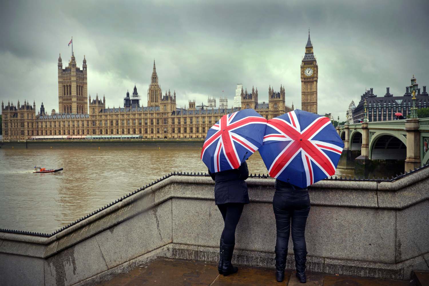
In the UK, 2026 began with a constant noise: that of rain. In many areas it did not stop for a single day. Saturated soils, swollen waterways, banks under pressure. The result is a country that lives with an open umbrella and an eye on the bulletins of the Environment Agency, which has issued almost a hundred flood warnings and over 150 flood alerts in England, as well as active alerts between Scotland and Wales.
Over 300 homes have already been invaded by water, while around 16,000 properties have been protected by hydraulic defences. The authorities urge maximum caution: driving through flooded roads can be extremely dangerous. In parts of Worcestershire, Devon and Cornwall it has rained every day since the start of the year.
Wet weather over the weekend has led to rising river levels and made them sensitive to additional rainfall.
Stay away from swollen rivers – their currents can sweep you off your feet. It’s not worth the risk.
Keep safe and sign up for flood warnings – https://t.co/r96fF5yRLb pic.twitter.com/1X4UKw2yzl
— Environment Agency (@EnvAgency) February 9, 2026
The “blocking pattern”: why perturbations don’t move
At the basis of this long unstable phase there is an atmospheric phenomenon known as a blocking pattern. An area of high pressure stuck over Scandinavia acts as a barrier, preventing Atlantic disturbances from flowing eastward. The flow of the jet stream, which normally accompanies cloud systems across Europe, was diverted and weakened.
The result is a sequence of low pressures stagnating between the UK and Western Europe, dumping persistent rain and strong winds. A further 40-60mm of precipitation is expected in eastern Scotland, with the possibility of rain turning to snow as colder air makes its way south.
#StormChandra has been named and is forecast to bring strong winds and heavy rain to the UK on Tuesday
Flooding and travel disruption is likely in places and there will also be some significant snow across higher ground in some northern areas
pic.twitter.com/3DP8g3MrBz
— Met Office (@metoffice) January 26, 2026
The wettest January ever
The numbers photograph an exceptional winter. As many as 26 weather stations recorded the wettest January ever. Northern Ireland has experienced its wettest January in 149 years. In Scotland, places such as Aberdeen have already well exceeded the monthly average for February.
Yet, despite the scale of the event, the absolute record of the winter of 2013-2014 remains distant. Then, in south-west England and south Wales, 691mm of rain fell in three months. Today the totals are high, but not yet historic records.
We are working closely with @EnvAgency to support them as they protect communities from flooding.
Today, Floods Minister Emma Hardy, visited Somerset and saw first-hand the action the EA is taking around the clock to reduce flood risk in the area. pic.twitter.com/8yDjUsshpp
— Defra UK (@DefraGovUK) February 10, 2026
A brief respite before new rains
Meteorologists see a possible turning point over the weekend: colder currents from the north could bring drier and brighter conditions, especially on Saturday. But it will be a short break. Already on Sunday, new Atlantic disturbances are ready to bring rain and wind, with the risk of temporary snowfall in northern areas.
The widespread impression is that of a “loop” winter, with the weather stuck on a single pattern. Until the jet stream regains strength or high pressure moves away, the UK will have to live with unstable weather and the constant shadow of floods.
Home Sweet Home
pic.twitter.com/k2hXGl0CnG
—
Worcestershire CCC (@WorcsCCC) February 9, 2026
You might also be interested in: