
Chiareggio, Alta Valmalenco
Chiareggio is a small village in the Alta Valmalenco, reachable by car from Chiesa Valmalenco. You park in the Pian del Lupo area and from there the path to the Gerli Porro refuge starts. The route is a wide and well-maintained mule track, approximately 2 km long, with a difference in altitude of 360 meters and a travel time of 1 hour and a half. No technical skills are needed: you walk at a regular pace, on stable ground, crossing meadows and rocky sections with small pools of water where you can stop in summer. Once you arrive at the refuge, the view of the Ventina glacier and the peaks of Monte Disgrazia makes the climb worth it. It is also a walk suitable for families and those with little experience, but who want to really feel like they are in the mountains.
Val di Mello Nature Reserve
The Val di Mello Nature Reserve is located in the province of Sondrio, a short distance from Morbegno. You arrive at San Martino and continue until the entrance to the valley, from where the path starts. The main route to the Rasega Refuge is approximately 4 km long, with a difference in altitude of 200 meters and a duration of approximately 1 hour. The slope is minimal and constant, the surface is comfortable and suitable for everyone. You walk next to the stream, among woods and pastures, encountering natural lakes and streams with small pools where children like to stop. Alternatively you can divert onto the Waterfall Path, shorter but more scenic. It is a simple walk, ideal for those who want to be outdoors without facing challenging climbs.
Path of the Spirit of the Woods, Canzo
The Sentiero dello Spirito del Bosco starts from the Prim’Alpe area, in the Canzo area. After parking, you reach Prim’Alpe via a mule track in the woods (about 1 hour). From here the actual thematic trail begins, 1.5 km long, with a total difference in altitude of around 400 metres. The travel time is not standard: only the section of the path takes 30–45 minutes, but considering stops, return and approach it takes about 4 hours in total. The route is easy but not suitable for strollers. Along the way you will come across wooden sculptures hidden among the trees, which keep children’s attention high and make the walk less tiring even for those who don’t like walking for long.
Monte San Primo
Monte San Primo is the highest peak in the Lariano Triangle. We start from the Sanctuary of the Madonna del Ghisallo and reach the Martina Refuge in a few minutes. From there the actual ascent path begins: 1.5 km long, 570 meters in altitude, approximately 1 hour and 15 minutes to reach the summit. There are no flat sections: you always go up, but the path is signposted and has no technical passages. It is suitable for children used to walking and adults with a minimum of training. At the top there is a complete view of the two branches of Lake Como and the surrounding Pre-Alps. The descent can take place from the same route or continuing towards Colma di Sormano.
Leonardo’s Path
The Leonardo Path is a 520 km walk, but it was not created to be tackled all together by those who walk for pleasure. The best idea is to choose a single stage. An accessible example is the stretch between Trezzo sull’Adda and Imbersago, along the Adda. This stage measures approximately 18 km, with minimal altitude difference, and requires 4–5 hours of walking. The route is flat, follows the river and passes through historic villages, hydroelectric power plants and naturalistic sections. It is a longer walk than the others, but technically easy, suitable for those who want to combine nature and cultural content.
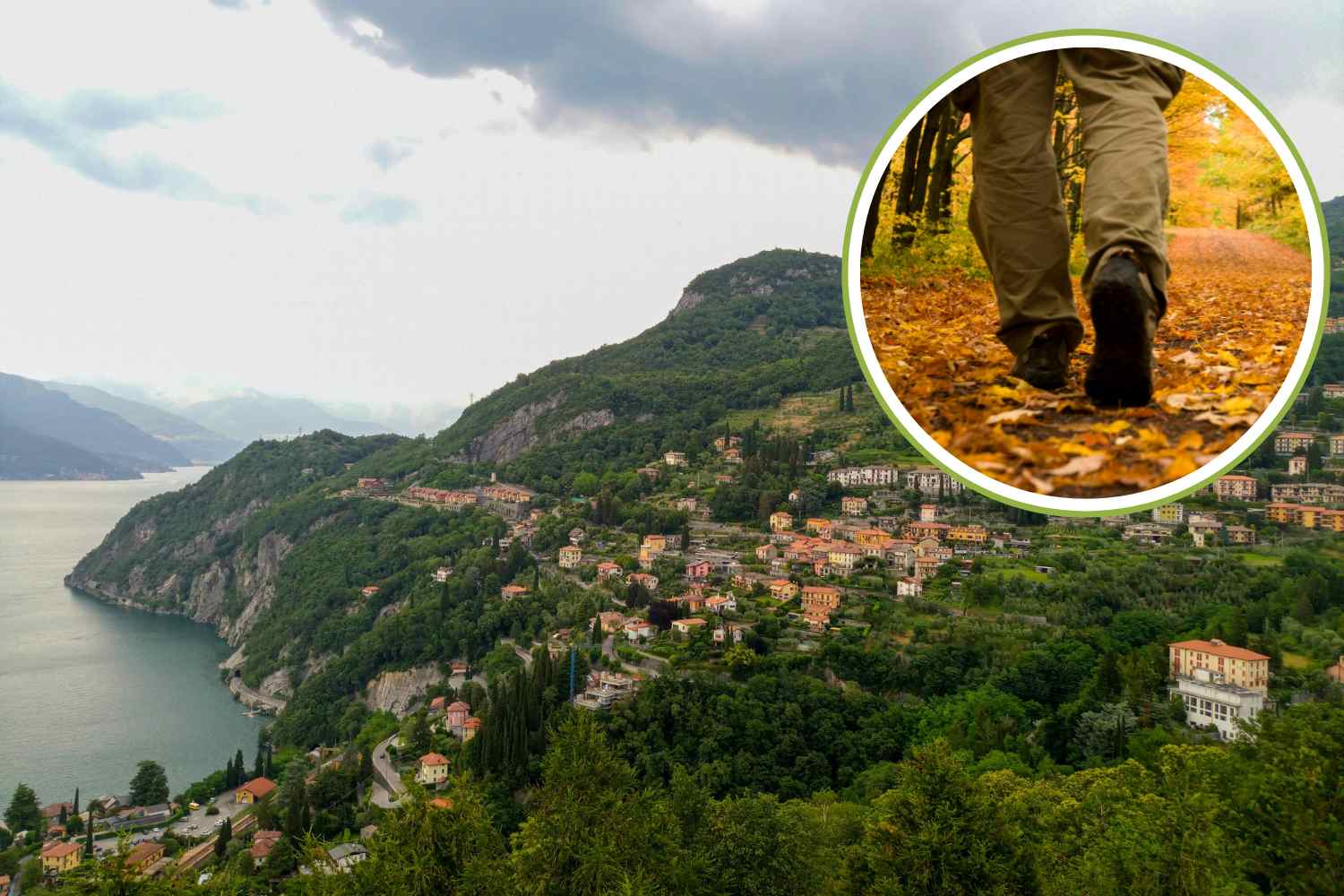
Path of the Wayfarer on Lake Como
The Sentiero del Viandante runs along the eastern shore of Lake Como, from Abbadia Lariana to Colico. The entire route is 45 km long and takes 3 days, but can be easily divided thanks to the presence of the railway. A typical stage is 10–15 km long, with 400–600 meters of altitude difference and 3–5 hours of walking. The path alternates mule tracks, stretches in the woods and passages above villages, such as Varenna. It’s not difficult, but requires a bit of walking habit. In exchange it offers a continuous view of the lake and a route rich in history.
Monte Barro ring, the complete circuit above Lecco
The Monte Barro Ring is one of the most sensible treks to do in a day if you live in Milan or Brianza and don’t want to waste time in the car. We start from the car park near the Hermitage, above Galbiate, inside the Monte Barro Park. The route is a well-marked ring that extends for approximately 6-7 km, with a height difference of around 300 meters and an average duration of 2-3 hours, depending on the stops. The surface is good, the paths are wide and not exposed, therefore also suitable for children aged 5–6 years and up. You walk through chestnut woods, encounter panoramic points with open views of the Brianza lakes and cross areas of historical interest such as the remains of the archaeological village of Piani di Barra, evidence of an early-medieval Roman settlement. Halfway around the loop there is a visitor center with picnic tables, useful for a break. The services are few: it is best to start with water and something to eat, because the value of this route lies precisely in sitting on a bench and looking at the landscape without distractions.
Path of Flowers, Aprica
The Sentiero dei Fiori is one of the most accessible routes in Valtellina, ideal for those who want to walk without facing differences in altitude. It is located in Aprica, in the Magnolta area, which can be easily reached by chairlift. From here a flat path starts, about 2 km long, which can be done in 1 hour – 1 hour and a half one way, with practically no difference in altitude. It is also suitable for trekking strollers and very small children. The route crosses open alpine meadows, with a constant view of the Valtellina, and along the route you come across illustrative panels dedicated to the local flora, which make the walk interesting also from an educational point of view. In spring and summer the flowering is evident and continuous, without the need to “look for” it. At the end of the path there are picnic areas and, in the surrounding area, refuges and huts where you can stop and eat. It’s a short but thorough walk that works well when combined with a lunch at altitude.
Lake Como Greenway
The Lake Como Greenway is more of a structured walk than a trek, but for those walking as a family it is a practical and satisfying choice. The most balanced stretch is the one between Colonno and Lenno, about 6 km long, which can be covered in 2 hours with almost no difference in altitude. The surface is smooth, the path is well maintained and suitable for strollers and children’s bicycles. You walk among historic villages such as Sala Comacina, paved sections, villas overlooking the water and Romanesque churches, with the lake always present but never intrusive. In Lenno you pass near Villa del Balbianello, one of the most photographed places on the lake. The advantage of this route is its flexibility: you can do just one stretch, stop often, eat something along the way and return without stress. In summer it is a simple but effective walk, especially if you end the day with an ice cream overlooking the lake.
Whether you live in the center of Milan or in the province, these routes demonstrate that you don’t need to plan weeks or be trained to walk well. The distances are manageable, the differences in height clear, the paths marked. A day trek works when you know what awaits you, set off, walk, stop when necessary.