
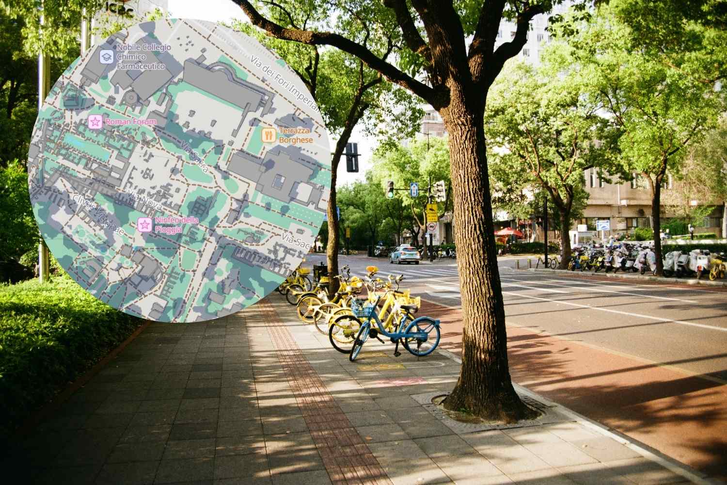
Summer brings with it a problem that becomes more serious every year: heat waves, now a real health emergency that no longer only affects the elderly and fragile people, but the entire population. If on the one hand municipal administrations activate anti-heat plans and people rely on classic do-it-yourself remedies, on the other hand technology is also becoming a concrete ally in dealing with record temperatures.
Various platforms designed precisely for this purpose have sprung up on the web. Some with a more practical slant, others more playful, but all united by one goal: to make the hottest days a little more bearable.
Fontanelle.org: free water just a click away
Among the most useful solutions is Fontanelle.org, a portal that maps the public fountains in the area, allowing you to quickly identify where to find free drinking water. A concrete help for those who find themselves out and about on a scorching hot day and don’t want to spend on bottles of water, as well as a small push towards more sustainable habits.
Troppocaldo.it: the collective outburst against the heat
Then there are those who have chosen a decidedly lighter approach. Troppocaldo.it is a virtual space created to give voice (and vent) to those who can no longer stand heat and humidity. Not a practical tool in the strict sense, but a nice way to share the collective fatigue of an increasingly hot summer.
ShadeMap: the app that tells you where to find shade
@shademap
Probably the most interesting platform, however, is ShadeMap. Launched in 2020, it was initially created as a tool for photographers, architects and outdoor enthusiasts, but over the years it has also proven particularly useful for those who simply seek a bit of relief from the sun during a walk, a run or a day in the city.
The operation is as simple as it is ingenious: ShadeMap combines topographic data with the height of buildings and the position of the sun, generating a precise simulation of where the shadow will fall at a given time of day. Just enter an address, select date and time – even future ones – and the map shows in real time the shadow areas projected by buildings, trees and natural reliefs.
The service is active in practically every corner of the world. By trying to insert some locations in the region, the map returns rather accurate simulations, especially in the denser historic centers and in spaces with a greater presence of trees.
The real problem: Italian cities have few trees
And it is precisely here that ShadeMap, beyond its practical usefulness, offers broader food for thought. Comparing the simulations of some European capitals with those of many Italian cities, the difference immediately catches the eye: where urban trees are more widespread, the shaded areas are larger and easier to reach. In Italian cities, however, where trees are scarce, especially in historic centers and more densely built areas, finding shelter from the sun often becomes a challenge.
A tool like ShadeMap, therefore, is not only useful for planning your day avoiding the hottest hours, but also for understanding, with data in hand, how much our cities need more greenery. More trees not only means more urban beauty, but also more shade, lower temperatures and objectively more livable cities, especially in an age where increasingly hotter summers seem to be the new normal.
You may also be interested in how to combat the heat:
