
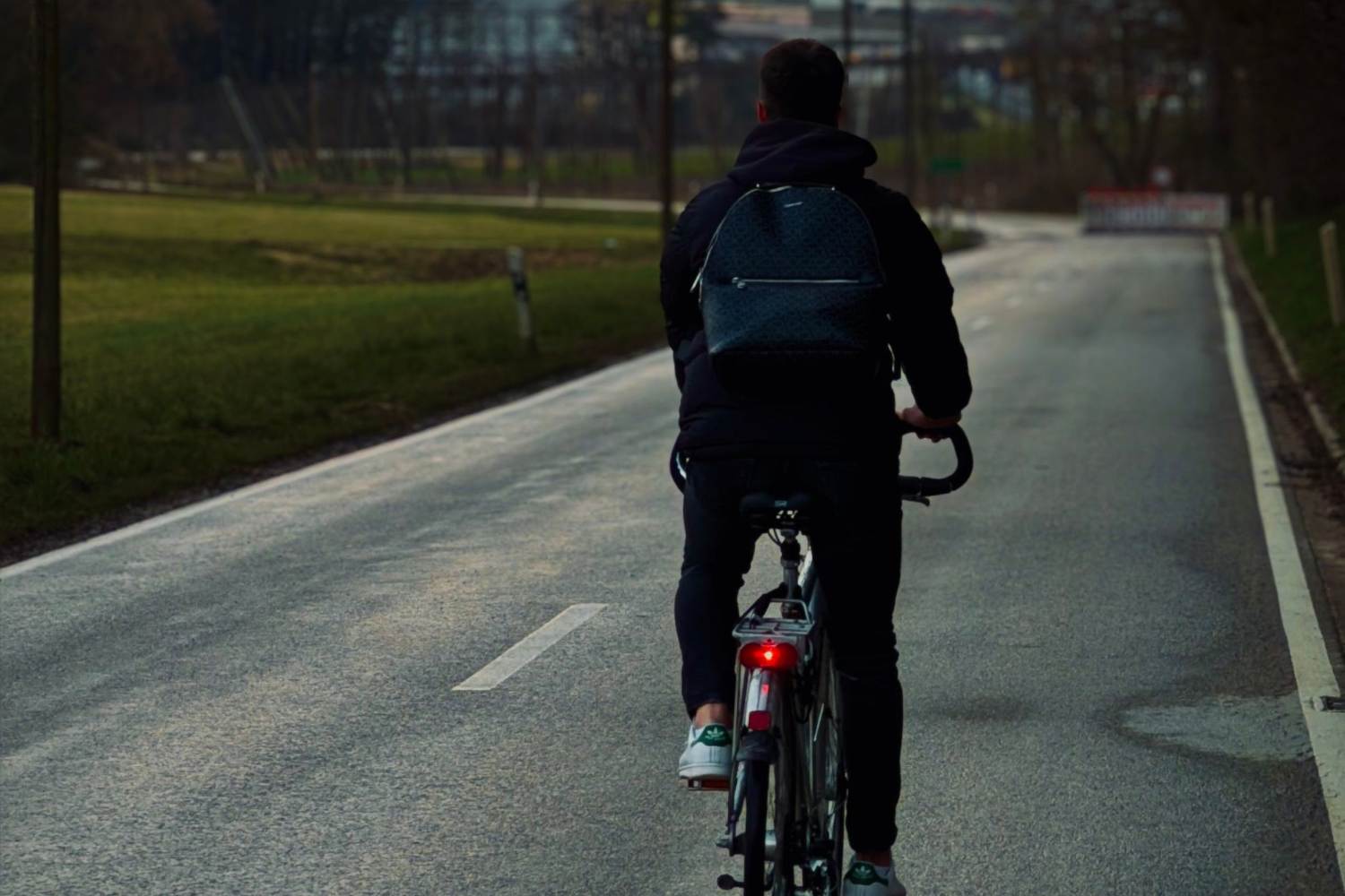
Forget the usual road route that forces you to pedal under the scorching sun or up impossible climbs. Mobility on two wheels is about to change its face thanks to ORBIS (Open Routing for Bike Intermodal Systems), the new application developed by the SuperUrbanity company. The project was awarded the prestigious RAPTOR Open Call 2026 of the EIT Urban Mobility, obtaining European funding of 60,000 euros. The trial will start exclusively in Trento, the only pilot city in Italy, chosen for its successes in sustainability rankings such as the EY Smart City Index 2025 and the ICity Rank 2025, as well as for its Bicipolitana.
The algorithm that calculates shadows, ice and slopes
The functioning of the platform goes beyond the concept of “shortest route” to embrace tailored navigation. The software integrates proprietary algorithms, artificial intelligence and real-time weather and satellite data. The user will be able to choose between different travel profiles: the fastest route, the one with cycle paths separated from traffic, options with reduced gradients for families, or itineraries with climate comfort. In summer the app calculates the shaded streets, while in winter it signals the routes with a risk of icy road surfaces, integrating with public transport.
Environmental impact and urban decarbonisation
The goal of ORBIS is to transform the bicycle from a simple recreational vehicle to a daily transportation choice. As highlighted by the data released by CEO Rodolfo Pinto, replacing just one daily car trip with a bike allows you to reduce your carbon footprint by around half a ton of CO2 per year per person. Considering that the transport sector generates around a quarter of greenhouse gas emissions in the European Union, the digitalisation of infrastructure becomes a fundamental lever for the ecological transition and for achieving decarbonisation targets.
The test timetable and the dashboard for the Municipality
Field work will take place between July and December 2026. A beta version will be released in November, while between November and December the application will be open to all citizens and tourists. In addition to guiding cyclists, the platform will provide the Municipality of Trento with an analytical dashboard capable of monitoring the flows of the cycle network to plan future infrastructure interventions. At the end of the experimentation, the SuperUrbanity model will be ready to be replicated in other Italian and European cities.
