
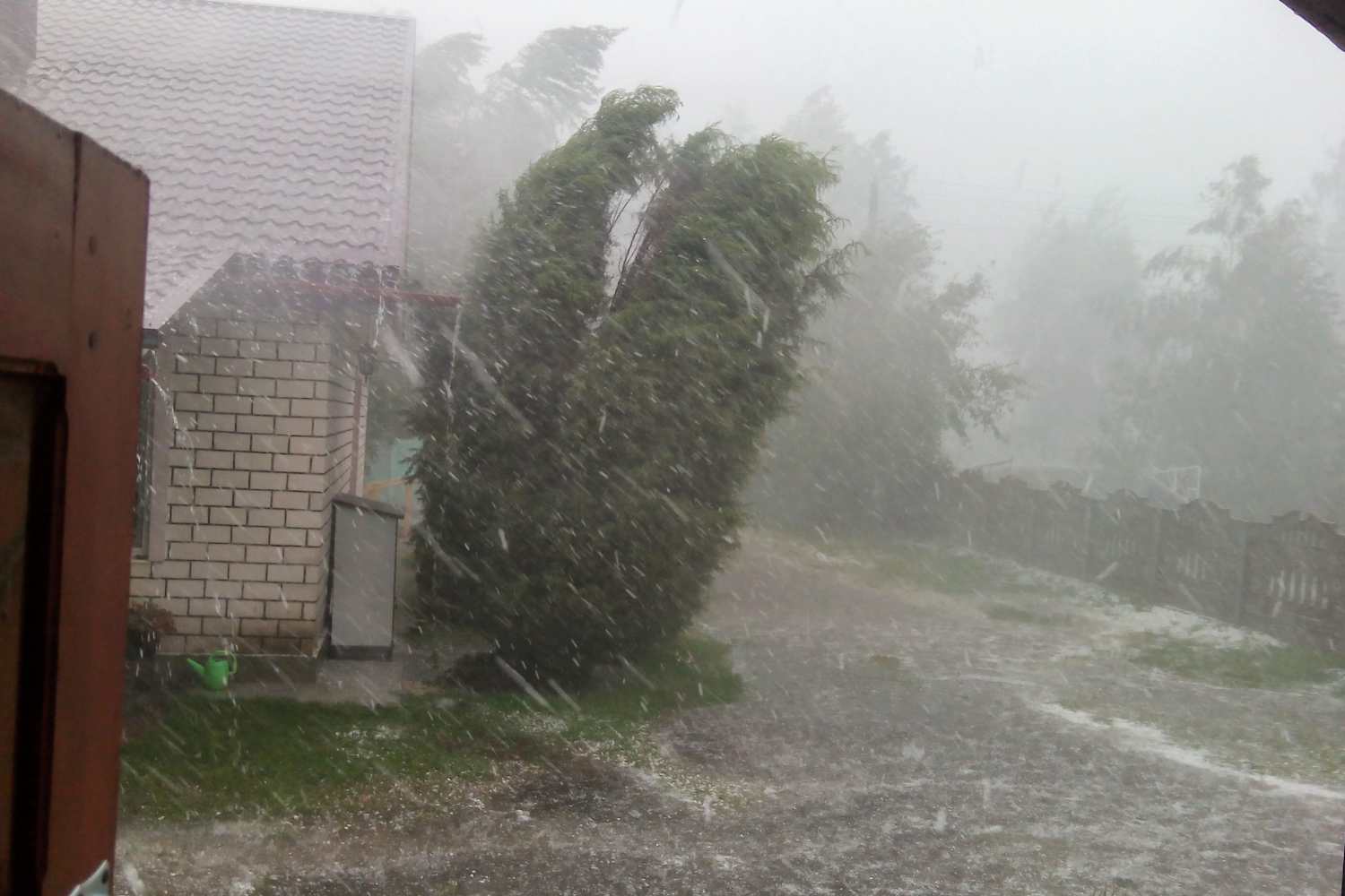
A vast pocket of fresh air of polar origin, descending from the British Isles towards the Mediterranean basin, abruptly interrupted the long wave of torrid heat in Italy, generating explosive thermal contrasts. The cold air mass, impacting on the overheated waters of our seas, unleashed its fury since the early hours of Thursday 20 August 2026.
The first signs of devastation were recorded in Liguria, where a violent storm dumped an impressive 276 millimeters of rain in just two hours in the town of Sestri Levante. The unstable front then extended its range of action to the central Alps, Trentino-Alto Adige, the Triveneto and the Po Valley, prompting the Civil Protection to decree a state of yellow alert for thunderstorms in Piedmont, Emilia-Romagna, Tuscany, Veneto and Friuli-Venezia Giulia.
Thursday #August 20th
#ORANGE meteorological-hydro alert on sectors of Lombardy
#YELLOWalert in eight regions
Rain and thunderstorms in the North and in Tuscany.
Read the weather warning for #19August
https://t.co/ro5ooa4npc#civilprotection pic.twitter.com/rYPZsC0Dbh
— Civil Protection Department (@DPCgov) August 19, 2026


Orange alert in Lombardy
The most critical situation is in Lombardy, where the Region’s natural risk monitoring center has raised the criticality to orange alert for thunderstorms and hydrogeological risk. The measure directly concerns the Milan Hydraulic Hub, as well as Lario, the Western Prealps, the Bergamo Orobie, the Varesine Lakes and Prealps, the Central Plain and the Eastern High Plain.
The emergency plan in Milan: total closure of parks, stop to cemeteries and protected access
In Milan, the most delicate phase of the disturbance is expected between 2pm and 11pm, with a peak intensity starting from 6.30pm. Experts expect sudden showers of more than 35 millimeters of rain, hailstorms and fierce gusts of wind capable of exceeding 110 kilometers per hour. To prevent and manage emergencies, the municipality led by Palazzo Marino immediately activated the Municipal Operations Center (Coc), with the task of constantly monitoring the hydrometric levels of the Seveso and Lambro rivers and the tightness of the city underpasses.
To protect the safety of citizens in the face of hurricane-force winds, the Palazzo Marino administration has implemented an extraordinary plan of closures and restrictions. The complete closure of all city parks was ordered for the entire day, also suspending the activities of the educational services located within the green areas, the municipal libraries and the Civic Planetarium.
Starting from 2.00 pm, the city cemeteries are also closed – where entrances are authorized only for the funerals already scheduled – and the shutters are lowered for the Solari, Romano, Cardellino and Sant’Abbondio seaside resorts. The Natural History Museum guarantees entry to visitors only through a cordoned off security corridor on Corso Venezia, set up to prevent branches from accidentally falling from the surrounding trees.
The Natural Risks Monitoring Center of the Lombardy Region has issued an orange (moderate) alert for the risk of thunderstorms on the hydraulic hub of Milan starting from 6 am on Thursday 20 August
— Municipality of Milan (@ComuneMI) August 19, 2026
The security measures for citizens and the evolution for Friday
The Civil Protection has made a firm appeal to the Milanese population to adopt maximum caution during the peak hours of the disturbance. It was recommended to avoid stopping or transiting near trees, construction sites, scaffolding, dehors and temporary structures, as well as urging the safety of vases, curtains and detachable objects on balconies and terraces.
Although the attenuation of the phenomena in the capital is expected for the evening of Friday 21 August 2026, the following day will see the Atlantic disturbance move towards Central Italy, bringing intense rainfall and hailstorms to Tuscany, Umbria and Lazio, while Southern Italy will continue to be protected by the high pressure field with maximum temperatures of up to 36 degrees.
