
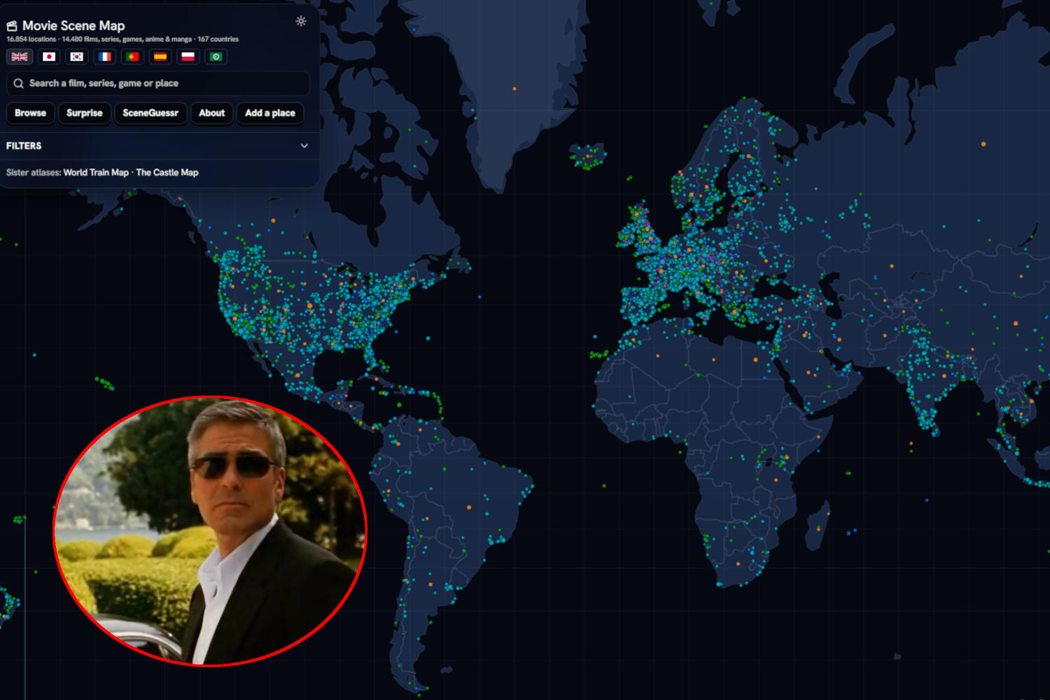
Imagine being able to virtually walk through the streets of a metropolis or along the paths of a historic village and discover, with a simple touch, which cult sequence of your favorite film was filmed in that very spot. All this is possible thanks to Movie Scene Map, an innovative free interactive platform designed to transform the curiosity of cinephiles and travelers into a visual exploration experience. With a constantly expanding archive that already exceeds 16,000 locations cataloged in 166 countries, the project traces the real sets of over 9,000 titles, ranging from feature films to television series, up to and including the settings of anime, manga and even video games.
Navigation is immediate and intuitive, completely free of the obligation to register. The user can type a specific destination, search for a work by title or freely explore the world map. Italy also occupies a prominent space within the system: in our country there are currently 604 mapped sets, with a high concentration of points of interest in large art cities such as Rome, Milan and Florence, which have always been ideal scenic backdrops for national and international productions.
@Movie Scene Map
How Movie Scene Map works: technical architecture, Wikidata data and AI
The real strength of Movie Scene Map lies in its technological heart and in the choice of sources. Instead of relying on the manual work of an editorial team, the platform extracts information directly from Wikidata, the structured knowledge database connected to Wikipedia. Through explicit IT relationships between the entity of the film and that of the place, the system associates with absolute precision the geographical coordinates, the images taken from Wikimedia Commons and the related in-depth information sheets. To ensure maximum transparency, the developers have chosen to share the raw data in open formats such as GeoJSON, CSV and JSON.
Consultation of the map always remains fluid thanks to the adoption of geographic clustering, an intelligent technique that visually groups nearby placemarks when the view is wide-ranging, and then separates them in detail as you increase the zoom. The platform also looks to the future of digital assistance: the entire archive can be consulted by artificial intelligence models via the Model Context Protocol (MCP), allowing users to directly query virtual assistants to locate the closest film sets or discover the history of a specific shot.
