
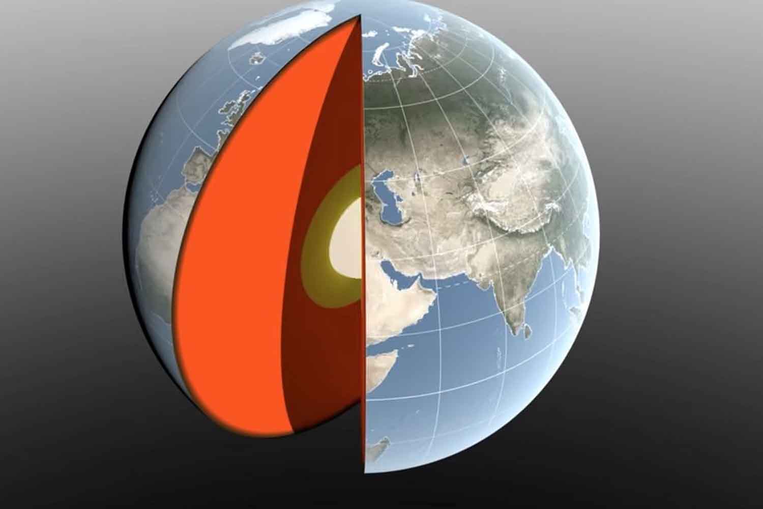
In April so much water falls on the Amazon that the Earth’s center of mass shifts about 2.2 millimeters toward South America. In March it had gone in the opposite direction, dragged about 3 millimeters towards the North Pole by snow accumulated between North America and Eurasia. Then come the oceans, the monsoons, even the cold air. In short, our planet has a center that stays anything but still during the year.
To better measure this small movement is a new one study published in Geophysical Journal Internationalled by geophysicist Donald Argus of NASA’s Jet Propulsion Laboratory. The new estimate suggests that the seasonal oscillation of the center of mass is about half of what was believed eight years ago. It is just a few millimetres, but enough to interest those who need to measure the Earth with extreme precision.
The center of the Earth that we use for GPS is moving
The center of mass does not necessarily coincide with the geometric center of the planet, that is, the point we would imagine in the middle of a perfectly uniform Earth. The first depends on how all the mass of the Earth system is distributed: rocks, water, ice and atmosphere included.
And that mass travels a lot. Water passes from the land to the oceans and vice versa, snow accumulates and melts, rivers swell, soil humidity and water tables change, air masses move. Meanwhile, the weight of water and ice also slightly deforms the earth’s crust. The result is a center of mass that describes a small seasonal oscillation relative to the Earth’s solid surface.
The matter becomes less abstract once GPS enters the picture. The Earth’s center of mass, also called geocenteris a fundamental reference for geodetic systems used in satellite navigation, cartography and measurements of the height of the earth’s surface. When working in the order of millimetres, even a center that moves very slightly ceases to be a detail.
Furthermore, until now, measuring it precisely was not easy. Two international estimates published in 2017 and 2023 differed from each other by approximately 7 millimetersalmost as much as the movement they were trying to rebuild. Not exactly ideal when the ruler is supposed to be the reliable part of the experiment.
Two metal spheres, lasers and satellites to find an invisible point
The Argus team then combined multiple tools. An important part of the work passes through the LAGEOS 1 and LAGEOS 2 satellites, launched in 1976 and 1992 respectively: two metal spheres weighing approximately 408 kilograms covered with prisms that reflect the laser pulses sent from the Earth stations. LAGEOS-2, incidentally, was built by the Italian Space Agency.
Satellites naturally orbit around the Earth’s center of mass. By measuring their distance from the ground stations with extreme precision, it is possible to reconstruct where that center is located. The problem is that laser stations are not evenly distributed across the planet.
The new technique adds then GPS data and orbital information from other low-orbiting satellites and also takes into account the elastic deformations of the crust caused by the weight of water and ice. An important step: if the ground under a station lowers or rises slightly, the point from which the measurement starts has also moved. Ignoring it means introducing an error while looking for variations of a few millimeters.
The snow pushes north, the Amazon brings everything back south
Having reconstructed the oscillation, the researchers separated the contribution of three large mass reservoirs: continental waters, oceans and atmosphere.
In March, the snow accumulated in North America and Eurasia reaches its seasonal maximum and shifts the center of mass by about 3 millimeters towards the North Pole. A month later the Amazon basin comes heavily into play: in the period of maximum rainfall it contains approximately 2,400 gigatons of more waterenough to move the geocenter about 2.2 millimeters towards South America. In November the Southeast Asian monsoon adds a smaller contribution, with about 600 gigatons of water.
Between August and October the distribution changes again. Melt water and precipitation reach the oceans and the center of mass shifts towards the South Pacific. The size of the Pacific means that mass variations in that area weigh much more than those of individual seas, although the Mediterranean, Baltic, North Sea, Red Sea and Barents Sea all leave a small footprint.
Even the atmosphere plays its part. Cold air is denser and therefore heavier: using a model from the European Center for Medium-Range Weather Forecasts, the team reconstructed how winter air masses seasonally change the balance between the hemispheres.
The results are also consistent with the observations of the two GRACE-FO satellites, which since 2018 have been measuring variations in the Earth’s gravitational field following mainly the movements of water. When one of the two satellites flies over an area where more mass has concentrated, it is attracted slightly more and the distance from its companion changes. Not much, obviously. Enough to be measured.
The smaller estimate obtained by the new work does not mean that the Earth has suddenly halved its motion. The way of rebuilding it has improved. And those millimeters end up in systems that have to locate satellites, measure sea levels, follow the movements of the crust and provide increasingly precise coordinates.
For the next step NASA is already looking at GRACE-Cthe mission destined to continue the long series of gravitational observations and currently scheduled for the end of 2028. The center of the planet will continue to move with the seasons. At least now we have a slightly better ruler to follow.
