
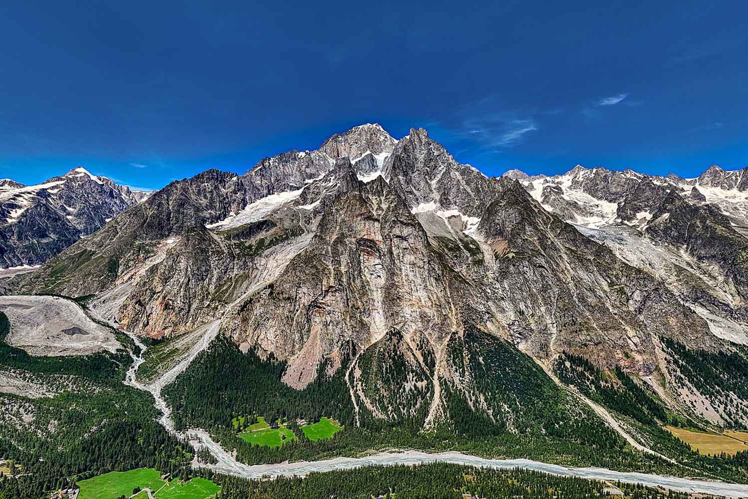
Mont Blanc reached 4,807.47 metres. That’s 1.88 meters more than the 4,805.59 meters announced in 2023, the lowest value recorded since the start of modern campaigns in 2001. Put this way, it would seem that the mountain has recovered almost two meters in three years. Except that beneath that figure there is a cap of snow and ice that continually changes shape, while the rock is much calmer.
Then there is a detail that makes the comparison even more interesting. Between the two measurements made public, the Haute-Savoie surveyors returned to Mont Blanc also in 2024 and 2025, measuring 4,808.51 and 4,808.76 meters respectively. The results, however, had remained out of official communication until this year, as confirmed by the Union Nationale des Géomètres-Experts.
Compared to 2025, therefore, the altitude measured in September 2026 is 1.29 meters lower. The gain of 1.88 meters only concerns the comparison with 2023, the year of the last public communication of the results. Two correct comparisons, which however tell different stories.
Mont Blanc has not gained two meters of rock
The new share was taken over on September 17, 2026 and presented on October 14 in Saint-Gervais-Mont-Blanc, France. It is not the rock mass that moves so quickly: the surface of the summit cap changes, shaped by the accumulation and redistribution of snow, precipitation, wind, temperatures and sunshine of the previous months.
This is why a single number says relatively little about the climate. Jean des Garets, president of the Departmental Chamber of Expert Surveyors of Haute-Savoie, recalled during the presentation that the peak is in continuous movement and that it is above all the series of measurements collected over time that become scientifically useful.
Glaciologist Luc Moreau also explained that, at the highest altitudes, Mont Blanc remains very cold. Climatic transformations are therefore more difficult to read on its summit ice cap than on the glaciers located further down, where the effects of warming are already clearly visible. Just look at previous measurements to understand how premature it would be to celebrate those almost two meters as good news for the climate.
In 2001 the altitude recorded was 4,810.40 metres, while the maximum of the modern campaigns arrived in 2007, with 4,810.90 metres. In 2021 it dropped to 4,807.81 and in 2023 to 4,805.59. The historical series of measurements also shows rather large fluctuations, with recent values generally lower than those recorded in the early 2000s. These variations, alone, do not tell us how much ice Mont Blanc is losing. To understand this you also need to measure how much ice there is and how it changes over the years.
Thirty kilos of tools to the top
To measure those 4,807.47 metres, 32 people went up to altitude, including surveyors, mountain guides, technicians and other participants, with around 30 kilos of instruments. A challenging expedition, with thousands of meters of difference in altitude, sub-zero temperatures and strong winds. On September 17, the team reached the summit in the early hours of the morning, remaining there for over two hours to carry out surveys.
The measurements combined GNSS satellite positioning systems, drones for three-dimensional reconstruction and ground penetrating radar. The latter allows us to study what lies beneath the snow-covered surface, helping to identify the bedrock and estimate the thickness of the glacial cover. This year there was also an instrument that had never reached the highest point of the Alps: a gravimeter, brought to altitude by technicians from the French national geographical institute, the IGN.
The institute has documented the first direct measurement of gravity on the summit of Mont Blanc, a piece of data that could help improve the calculation of altitudes and knowledge of the masses of rock and ice present beneath the surface. It is a less immediate job than reading the altimeter, but it allows you to build more precise scientific references for subsequent campaigns.
The “zero point” for understanding what will happen to the ice sheet
The 2026 work comes alongside the cross-border campaign carried out in May 2025 by Fondazione Montagna Sicura and the EDYTEM laboratory, connected to the Université Savoie Mont Blanc and the French CNRS. On that occasion, drones, LiDAR sensors and ground penetrating radar were taken above 4,800 meters to build a true “zero point” of the summit cap, i.e. a detailed reconstruction from which to start to compare future surveys.
The campaign had detected a surface altitude of approximately 4,807.3 meters at the end of May 2025 and identified, in the sectors analysed, thicknesses of snow and ice of the order of around twenty metres. The spring and autumn measurements, however, are also affected by different seasonal conditions and are not automatically superimposable. The work is told in the documentary Zero Point – A Mont Blanc Surveywhich shows the operations carried out on the mountain and the difficulties encountered by the researchers.
Mont Blanc therefore continues to gain and lose centimetres, sometimes metres, depending on how much snow accumulates on the summit and how the wind redistributes it. The latest measurements also allow us to better understand what lies beneath the surface.
In 2026 the mountain is higher than in 2023, lower than in 2025 and still far from the maximum recorded in 2007. To know how much ice it is actually losing, however, you also need to look under that white hat. And continue to measure it, year after year.
