
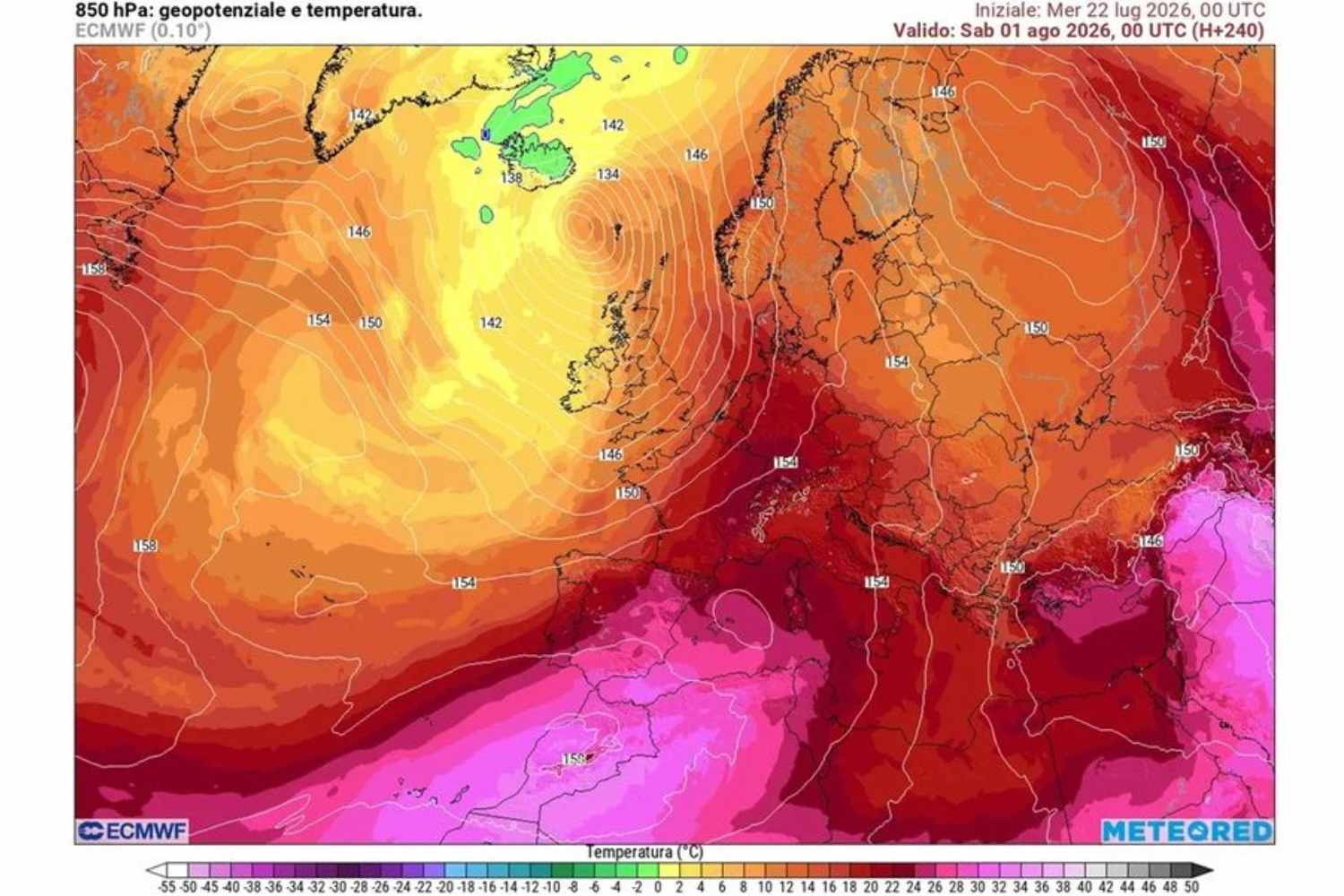
Twenty-seven out of twenty-seven, for the first time in 2026 the Ministry of Health assigns the red sticker to every single city monitored by heat wave bulletins, from Bolzano to Reggio Calabria. Thursday 6 August thus marks the peak of a fourth heat wave that has lasted since June, and which experts describe as an open clash between the North African anticyclone and the Atlantic currents which are trying, without fully succeeding, to undermine it.
What does the red dot mean and which cities are involved
Level 3 of the ministerial bulletin indicates emergency conditions, with possible negative health effects affecting not only the elderly, young children and people with chronic pathologies, but also the healthy and active population. The next day, Friday 7 August, the situation remains almost identical: 26 out of 27 cities remain in the red, and only Bolzano drops to the yellow flag. The cities involved include Rome, Milan, Naples, Turin, Florence, Bologna, Palermo, Genoa, Bari, Catania and Venice, along with Perugia, Frosinone, Latina, Civitavecchia, Viterbo, Rieti, Campobasso, Pescara, Cagliari, Brescia, Verona, Ancona, Trieste and Messina.
Tropical nights and peaks of 40 degrees
The nights offer no relief. In large cities and along the coasts the thermometer struggles to drop below 28-29 degrees: asphalt and buildings slowly release the heat accumulated during the day, while high humidity makes sweating less effective and rest more difficult. In the Center and South, peaks of 40 degrees are reached in the internal areas.
The weekend brings a respite, but only partial
A first, partial truce is expected over the weekend, between 7 and 10 August, when an Atlantic disturbance will bring thunderstorms and a slight drop in temperature especially in the North, with the risk of hailstorms and intense gusts of wind. The invitation, however, is not to have any illusions, because we will go from 39 to 36 degrees, or from 37 to 34, a difference that the body barely perceives. In the Centre-South, temperatures remain high, and a single storm is not enough to end the wave, because the rain lowers the values for a few hours, but the African high pressure can return within a day or two.
We’ll have to wait until mid-August because
The most concrete turning point will take place between 10 and 15 August, when even intense showers should occur almost every day in the Centre-North, bringing the maximum temperatures below 32 degrees in the North and below 35 in the Centre. The definitive farewell of the African anticyclone, the one capable of restoring a breathable summer, is expected close to August Bank Holiday, not before.
