
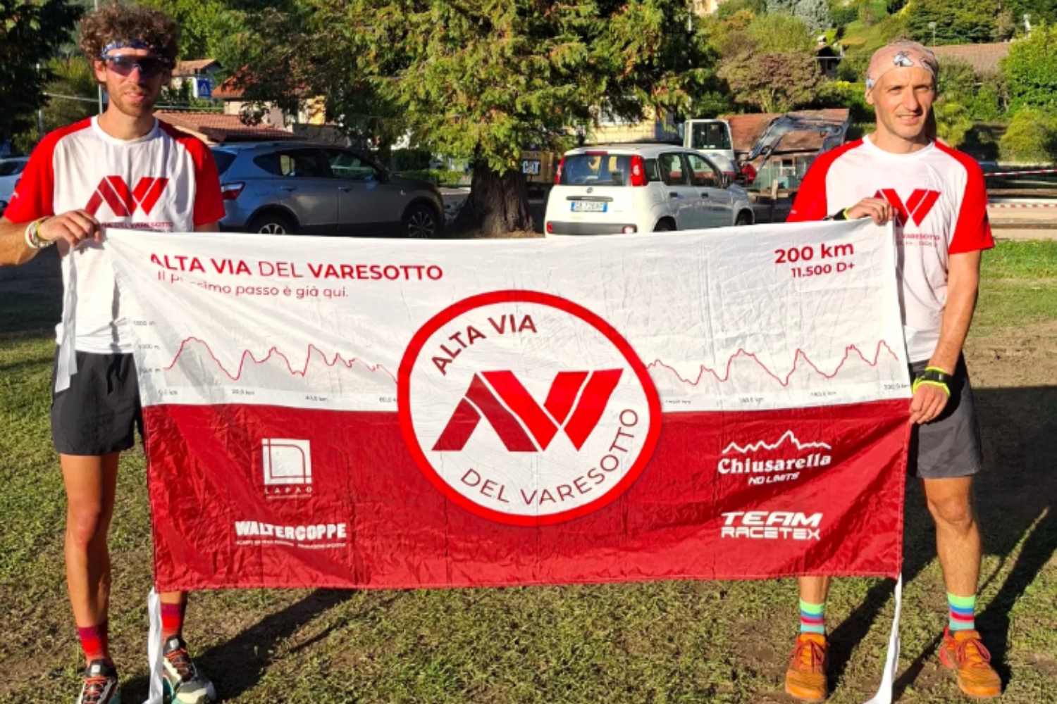
Experiencing the mountains means knowing its roots deeply, rediscovering the connection with nature and letting yourself be guided by the slow and meditative rhythm of the journey. This is the underlying philosophy that pushed Mattia Raimondi, a twenty-eight-year-old originally from Tirano but now at home in the Varese area where he works on a farm on Monte Generoso, to conceive a work destined to leave its mark on the Lombard hiking panorama.
Strengthened by the experience gained in 2020 with the creation of the Alta Via della Valtellina, Mattia decided to replicate the extraordinary intuition in the province of Varese, an area that preserves an immense naturalistic and historical heritage but which needed a unified common thread. The result of this vision is the Alta Via del Varesotto, a monumental ring measuring 200 kilometers in total and boasting a positive difference in altitude of 11,500 metres, designed to embrace and enhance all the most evocative reliefs of the area.
A route that unites the historical paths and the memory of the Cadorna Line
The first field test officially began on September 19th, with departure and arrival set in the splendid setting of Rasa di Varese. To bring this route to life, the creator carried out meticulous connecting work, connecting already existing routes full of history. The itinerary thus winds along the Sentiero Italia, the Via Francisca del Lucomagno and the military mule tracks of the Cadorna Line, the defensive system built during the First World War which crosses much of the border mountains with trenches, tunnels and suggestive positions.
Walking along the Alta Via means immersing yourself in an extraordinary biodiversity, touching iconic places such as the Sacro Monte with its chapels, the Campo dei Fiori Regional Park, the Poncioni peaks, Luino, Val Veddasca and the isolated village of Monteviasco, reachable via the historic mule track.
From logistics to division into stages for accessible and sustainable tourism
The test walk was initially structured into 7 stages of approximately 30 kilometers each, designed to be subsequently doubled to 14 in order to make the sections more accessible and usable even for less experienced hikers or those who simply want to walk for a single day. With an average altitude of around 1,000 metres, the route offers breathtaking views of the seven lakes and is aimed at a wide audience, combining the love of walking with cultural discovery. Such a complex project required a dense network of collaborations: logistical support in the field was guaranteed by Walter Chiari (known as Walter Coppe), while the curation of the entire visual identity, from the logo to the t-shirts up to the banner, was entrusted to the graphic designer Paola Ghiringhelli.
Towards official recognition and future valorisation of the territory
The ultimate goal of this great walking journey goes far beyond simple sporting exploration. Through patrolling and constant monitoring, the team collects fundamental data relating to water sources, refreshment points and any critical issues on the paths. All these elements will be presented during the winter months to local authorities, mountain communities and the CAI, with the aim of transforming the route into a structured tourist proposal.
The development plan in fact includes the creation of an official paper guide, the opening of a dedicated website and the promotion of conscious hiking. The Alta Via del Varesotto is thus a candidate to become much more than a simple path: a concrete invitation to slow down, to rediscover local identity step by step and to restore centrality to slow tourism in the Pre-Alps.
