
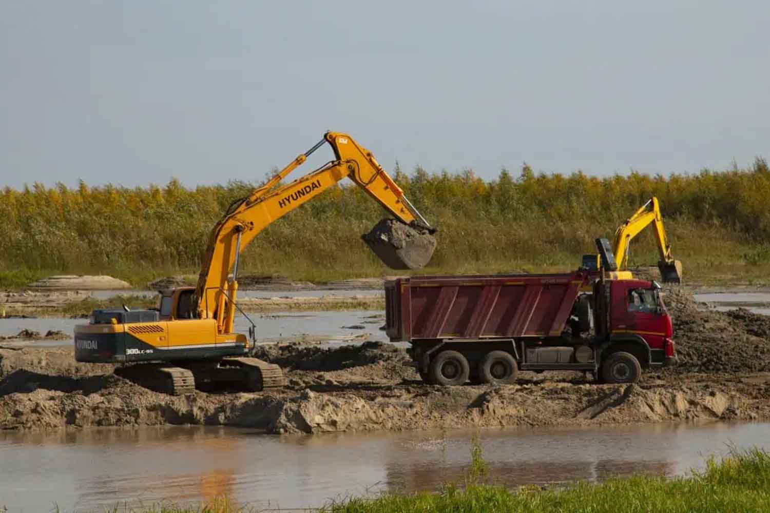
A dredge sucks sand from the river bottom, pushes it along a pipe, and a truck takes it away. The next step can be a building, a road, a bridge. However, a sediment deficit remains in the river bed. And in cases where measurements exist, that deficit can be quite large: a new review published in Reviews of Geophysics notes that the annual extraction of sand and gravel often exceeds by several times the amount of material that the river can naturally replenish. From there the seabed begins to sink, the banks and, in some cases, even the nearby strata to give way.
Edward Park, Christopher Hackney and an international team of researchers have put together 411 peer-reviewed scientific studies published since 1974. It is one of the largest summaries yet on the extraction of sand and gravel from rivers. And it also contains a useful detail to avoid turning the research into yet another very self-confident global number: 69% of the studies analyze the impacts, just 27% quantify the extent of extractive activity and only 24% directly study the economic forces that fuel it. We know quite a bit about the injuries. Much less than how much sand is actually taken away.
Cement sand is not a detail at all
The Sahara, unfortunately, does not solve the problem with a shovelful. To build, aggregates with precise physical characteristics are needed and river sand is particularly sought after. The authors explain that sand and gravel make up over 70% of the volume of concrete; in 2024 alone, global demand for these aggregates for cement was estimated at 28.03 billion tonnes. They then enter the asphalt, foundations and coastal expansion works.
The problem is bigger than just material extracted from rivers. According to UNEP’s new Sand and Sustainability report, we globally use around 50 billion tonnes of sand every year. For buildings alone, demand could grow by up to 45% by 2060. However, the same sand that becomes cement, glass or asphalt does another job when it remains where it is: it stabilizes banks and coasts, contributes to the safety of water resources and offers habitat to numerous species. In one building he stops doing it with a certain punctuality.
When the river remains starved of sediment
A river continuously transports sand and gravel from upstream to downstream. That movement helps shape the bed, river bars, banks and, later, deltas. If material is taken out faster than it is coming in, the current still has energy to expend and less sediment to transport. It thus begins to erode its bed and banks. The phenomenon has been known for decades as hungry waterliterally hungry water: a not very reassuring and rather precise definition.
The new revision reconstructs a chain of consequences that can go a long way from the dredge. The incision of the bed makes the banks unstable and can favor their collapse; a deeper riverbed modifies exchanges with groundwater and can contribute to the lowering of the water table. In deltas and coastal areas, the deepening of channels allows salt water to penetrate further inland, with consequences for agriculture and freshwater reserves. Dredgers and machinery can also resuspend sediment, increase turbidity and change water quality.
Then there are the inhabitants less interested in the real estate market. Bottoms, gravel banks and shallow areas are feeding and breeding areas for fish, macroinvertebrates and other aquatic species. Excavating those environments directly reduces their complexity and can eliminate spawning areas; Erosion and instability can also reach infrastructure, farmlands and communities that depend on the river for water, fishing and income.
However, attributing any eroded banks to sand mining would be a shortcut. Dams, changes in flow, subsidence, climate change and land use transformations act simultaneously on sediment transport. The authors themselves indicate among the gaps in the research the difficulty of separating these effects and understanding how they interact in the long term. Rivers have a very bad habit: they ignore the ordered boundaries of our categories.
We know where the damage is, much less how much sand disappears
The greatest difficulty appears even before deciding how much to extract. For many rivers, a reliable sediment balance is missing, that is, an estimate of how much material arrives naturally and how much can be removed without sending the system into deficit. Furthermore, some of the activities take place underwater, other extractions escape official statistics and commercial data often indicates the material without allowing its origin to be precisely reconstructed. To verify what is happening, bathymetric surveys, satellite images, drones and repeated monitoring over time are needed.
The management proposed by the review starts precisely from this void. The authors call for limits on extraction linked to real sediment balances, basin-scale monitoring, cooperation between territories crossed by the same river and control systems capable of following extraction activities. Among the tools studied there are also the Sustainable Mining Zonesareas identified considering sediment dynamics, hydrology and environmental vulnerability, with extractable quantities to be adapted to river conditions instead of fixing them once and for all.
The question must also enter the account. The 2026 UNEP report proposes 24 actions that include reduction of avoidable uses, greater circularity of construction materials, long-term planning, transparency of authorizations and monitoring. Continuing to consider sand an almost free raw material because the price of the river remains out of the invoice has worked rather well for cement. Much less for the river.
There is also some sign of what happens when the bulldozers stop. On the Lubha River in northeastern Bangladesh, intensive gravel mining had left numerous pits in the channel and alluvial areas. After the ban introduced in 2021, a study published on Cell Reports Sustainability observed that by 2024, approximately 74% of the pits in the active channel had been naturally filled with sediment. Those dug into abandoned canals and floodplains recovered much more slowly.
The river, therefore, can heal some of the wounds when sediment flows back through. Where the current reaches little, the holes remain. The cement hardens in a few hours. To put the sand back in its place, a river definitely follows other times.
