
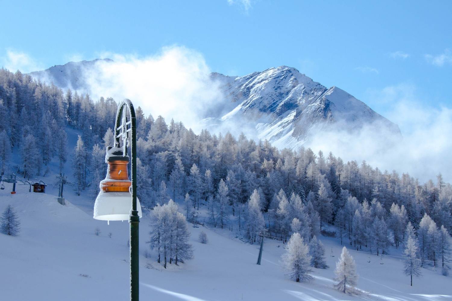
The weekend opens with the aftermath of the storm Austen. The disturbance linked to the system that hit the British Isles is currently reaching Northern Italy and, according to 3bmeteo forecasts, on Saturday it will give rise to a secondary vortex over the central Mediterranean. The result is a two-speed weekend. Saturday will be unstable across a large part of the Peninsula, Sunday will be calmer but cooler, with a new Atlantic front already heading towards the Alps.
Friday, rain in the North and snow at high altitude
Today the disturbance is flowing across the northern regions from west to east, with rain, some thunderstorms and snow in the Alps below 2000 metres. In the evening the effects spread to Tuscany, upper Lazio, Umbria and central-northern Sardinia, while the good weather persists in the rest of the country.
Saturday was the worst day
In the Western Alps there remains some instability, with light snow from 1200-1300 metres, but the improvement will be rapid. In the North-East the showers affect Veneto and Friuli Venezia Giulia, with snow above 1300-1500 metres, before the evening clearings. Elsewhere more sun, except for some fog in the morning along the Po. In the Center the morning passes calmly, then from the afternoon onwards instability increases on the Adriatic side and on the Apennines, and in the evening thundershowers on the coasts are not excluded. It goes better on the Tyrrhenian Sea and in the nearby plains.
In the South, after some morning showers in upper Campania and western Sicily, the rains start from Campania in the afternoon and move towards Tyrrhenian Calabria, with minor effects on Basilicata and Puglia. Some showers reach the north-east of Sicily; the rest of the island and Sardinia remain sunniest. A tense or strong Mistral blows and in the North temperatures drop.
The sun returns on Sunday, but it’s cooler
The front lingers in the South with the last showers, running out, in northern Sicily, lower Calabria, Gargano and central-western Sardinia. The Northeast improves, while from the afternoon a new frontal system descending from the North Atlantic brings snow phenomena to the central-western Alps, especially along the border areas, above 2000-2200 metres. In the Center the sky will be slightly or partially cloudy, with a few more clouds over Tuscany and the Adriatic regions and a possible evening shower in Versilia. The Mistral continues to blow tensely and the thermometer drops. The real truce, for the 3bmeteo trend, will arrive with the new week (with the anticyclone strengthening again) and from Monday the temperatures should rise by a few degrees.
