
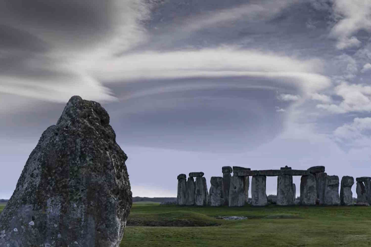
A slab of sandstone almost five meters long, weighing six tons, today lying in the heart of Stonehenge. Seen from afar, it looks like just another piece of the most famous monument of European prehistory. Up close, however, it becomes a very concrete question: how did a stone born in the north-east of Scotland end up on the Salisbury Plain in the south of England? We had already talked about it: the Altar Stone It doesn’t come from Wales, but from Scotlandabout 700 kilometers from Wiltshire. Now a new study on Journal of Quaternary Science adds a piece to the story and tries to reconstruct the journey.
From Scotland to Stonehenge: a 700 kilometer journey
The researchers combined dating of mineral grains and models of ancient ice sheets to test a long-discussed possibility: that ice from the last ice age carried the stone south. The picture that emerges is more nuanced. The glaciers could have dragged rocks for a distance, perhaps up to the Dogger Bank area in the North Sea, that is, in that now submerged area that was once part of the landscape between Great Britain and continental Europe. But then the road to Stonehenge remained entirely human.
Because glaciers don’t explain everything
For years, in front of the megaliths of Stonehenge, the glacial explanation had a certain fascination. Convenient, even elegant: nature moves the blocks, humans find them closer and use them. Except that geological data is making this hypothesis very narrow. Previous research published in Nature had already linked the Altar Stone to the Old Red Sandstone of the Orcadian Basin, a large geological area in north-eastern Scotland, thanks to the analysis of zircons, apatites and rutiles present in the rock fragments. In practice, minerals functioned as an ancient identity card.
The new work adds a piece to the history of transportation. Ice sheet simulations indicate that there was a lack of credible glacial pathways capable of directly connecting the source area with Stonehenge. The ice could push material towards some areas of the North Sea, perhaps shortening some of the distance. However, there remained hundreds of kilometers to cover with hands, ropes, sleds, rollers, boats or any combination of techniques today we can only reconstruct from clues.
This makes the story less “magical” and much more impressive. The stone may have been moved in several phases, alternating overland sections with passages along rivers or coasts, where water transport would have alleviated at least part of the problem. A precise route is still missing. The fixed point, however, is already notable: the Altar Stone required organisation, time, knowledge of the landscape and collaboration between different communities.
What is the Altar Stone and why is it so important
Stonehenge, in the English county of Wiltshire, is often described as a circle of isolated stones in the countryside. In reality it belongs to a much larger landscape, made up of mounds, ceremonial routes, remains of settlements and Neolithic monuments. According to English Heritage, the first large structure on the site dates back to around 3000 BC, while the large central stones were placed around 2500 BC. Different stones coexist in the monument: the large sarsen, linked mainly to the Wiltshire area, and the smaller “bluestones”, traditionally associated with Wales. The Altar Stone is one of these special stones, and was long thought to come from a Welsh area.
The Scottish origin changed everything. We are talking about a link along almost the whole of Great Britain, from north to south, in an age without modern roads, without draft animals of the kind later used on a large scale, without wheels employed in the way we imagine today. If the block really came from the north-east of Scotland to Salisbury Plain by human choice, then Stonehenge ceases to be just a local masterpiece and becomes the material sign of a much larger network.
The word “network”, here, must be taken without modern imagination. It means people who knew distant territories, who could transmit information, decide on a joint venture, maintain a project over time. It also means attributing to that stone such a value as to justify an immense effort. Nobody drags six tons hundreds of kilometers on a whim.
A story about people, not mysteries
YouTube – @curtinuniversity
The study avoids spectacular shortcuts. The authors speak of a deliberate movement, probably planned in several stages. The formula seems dry, almost technical, but inside there is an enormous scene: groups of people following a stone along landscapes that today partly still exist and partly ended up underwater, crossing areas where the climate, the terrain and the distances could transform every stretch into a problem.
Dogger Bank, now a sandbar submerged in the North Sea, helps to understand how different the landscape was. During and after the last glaciation, the coasts changed, the sea level rose, and habitable territories were swallowed up. Within that mobile geography, a stone could be moved first by nature and then by humans. The result, however, remains the same: to get to the south of England, decisive human intervention was needed.
Researchers from Australian and British universities participated in the work, along with specialists in archeology and geology. The next step will be to identify more precisely the point of origin of the stone in Scotland and try to reconstruct itineraries compatible with the prehistoric landscape. For now, the research does not deliver a definitive map. However, it tightens the margin of hypotheses and takes away from the glacial explanation the role of single solution.
There Stonehenge Altar Stone it remains there, almost silent, under the weight of the other fallen stones and thousands of years of interpretations. This time it tells less mystery and more work. Less legend, more hands. A six-ton slab, which started from the north and arrived at the center of a monument that still forces everyone to lower their voices.
