
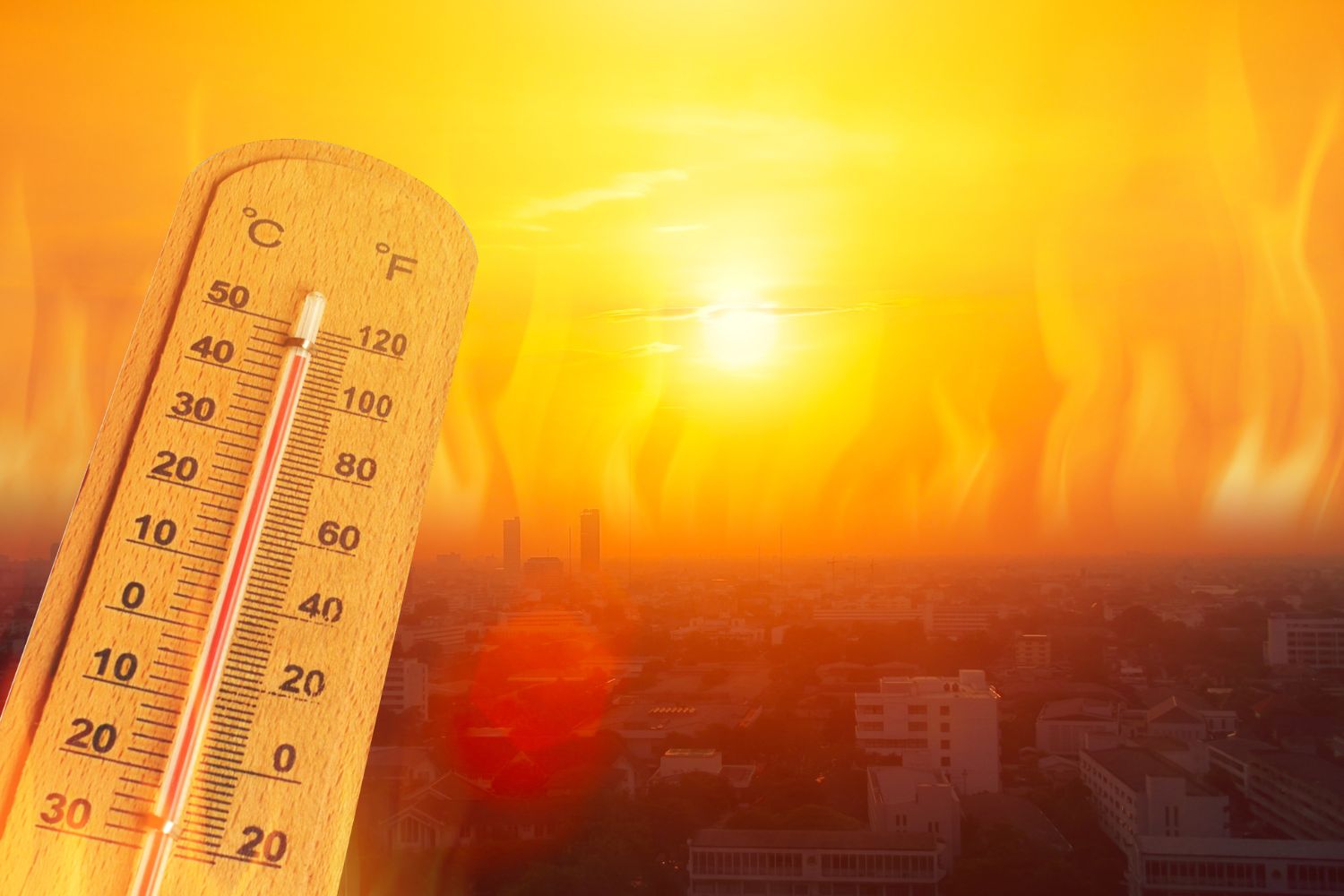
The first truly intense heat wave of the summer is upon us, and it promises to be much more persistent and severe than that recorded at the end of May. Temperatures will begin to rise sharply as early as Thursday 18 June, especially affecting the Northern regions, and then intensify further over the weekend across the entire national territory.
The Ministry of Health has already released the first alert bulletins: tomorrow there will be five cities with an orange rating, a level that indicates a concrete risk to the health of the most vulnerable people such as the elderly. These include Bologna, Brescia and Turin in the North, as well as Florence and Perugia in the Centre. The cities with the yellow dot will instead go from nine to twelve, including centers such as Milan, Rome, Naples and Venice. On Friday 19 June the situation will get even worse, with the oranges rising to eight and the yellows to thirteen, also extending to several southern cities such as Catania, Palermo and Reggio Calabria.
The heat will reach its peak over the weekend, when a mass of boiling air will envelop the entire country. The most affected areas should be Bologna, Ferrara, Florence and Rome, with temperatures that could reach 40°C, while in the Oristano area, in Sardinia, peaks of up to 41°C are estimated.
Experts call this heat wave “anomalous” for the period, comparing it to conditions more typical of July or August, and warn that it will not be a temporary phenomenon: it should in fact last until the end of the month.
Incoming subtropical anticyclone
At the basis of this scenario is the expansion of a subtropical anticyclone coming from North Africa, which will act as a sort of barrier against Atlantic disturbances, almost completely blocking precipitation. As meteorologist Mattia Gussoni explains, the pressure that this system exerts downwards will produce a constant increase in temperatures.
Another critical element concerns the nights, which will become “tropical”: thermometers will not drop below 20°C, with peaks that can reach 25-26°C even after sunset. High humidity and poor ventilation will prevent buildings and soil from cooling sufficiently.
Consequences on the storm front cannot be ruled out either: in the Alpine and pre-Alpine areas there could be heat storms in the afternoon or evening, generated by the hot air that rises and condenses into cumulonimbus clouds. Friday 19 June is considered the most risky day, especially in the western Po Valley, where experts do not rule out the formation of superstorm cells capable of bringing intense hailstorms and even tornadoes.
The overall heat peak is expected to coincide with the summer solstice, Sunday 21 June: the day with the most hours of light of the year, which according to experts will help to further amplify the effects of the African anticyclone on much of the Italian territory.
