
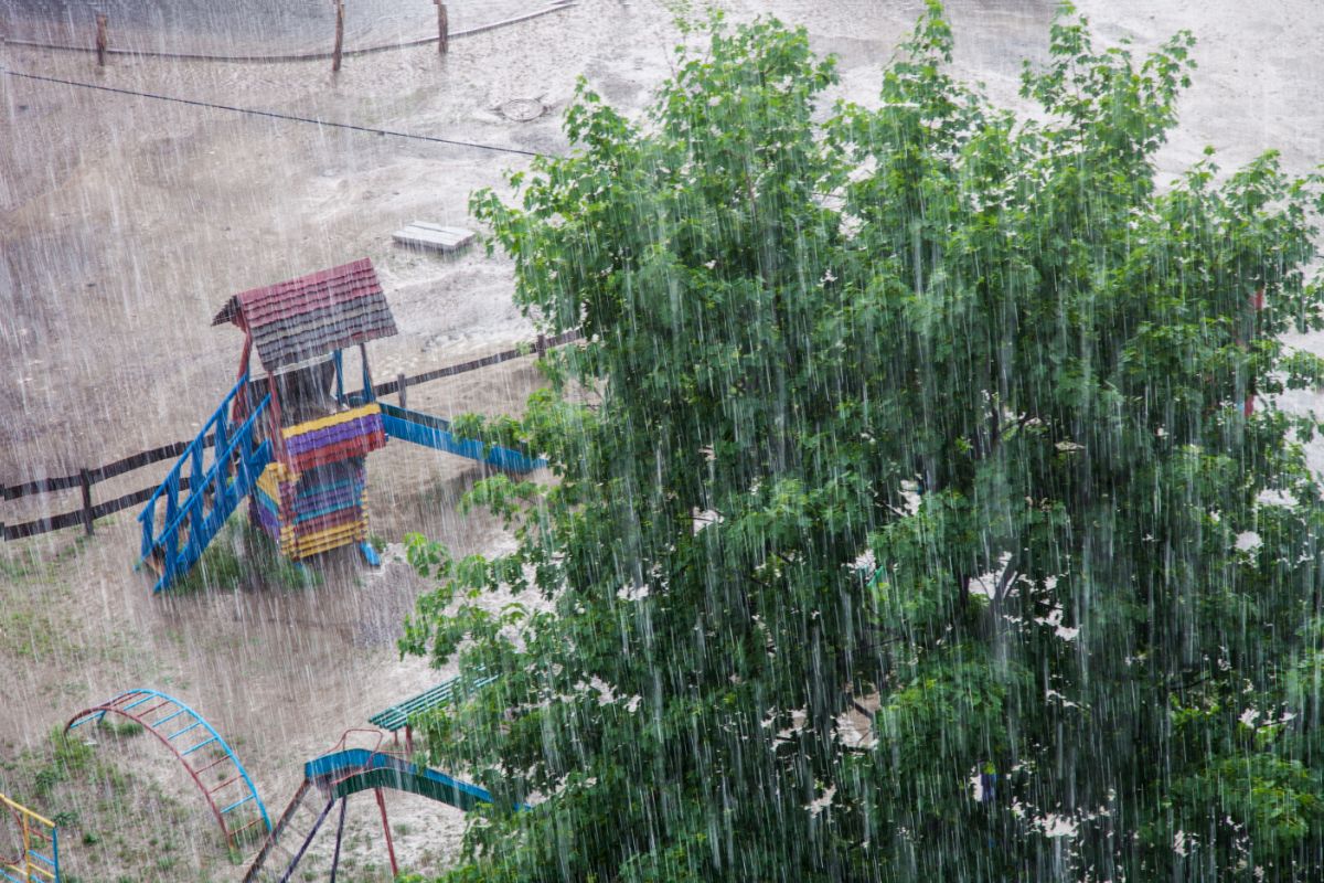
The bad weather gives no respite and moves from the North towards Central-Southern Italy. For tomorrow, Thursday 2 July 2026, the Civil Protection has issued a weather warning bulletin which affects a large part of the national territory, with the risk of thunderstorms, storms, hailstorms and strong gusts of wind.
Civil Protection Department/Facebook
Regions on orange alert
The highest level of criticality concerns a large part of Veneto and some areas of Emilia-Romagna, where storm phenomena could be particularly intense.
Regions on yellow alert
Yellow alert has been issued for numerous regions: Friuli Venezia Giulia, Tuscany, Umbria, Marche, Lazio, Abruzzo, Molise, Campania, Puglia, Basilicata and Calabria. A level of attention also concerns some areas of Veneto, Emilia-Romagna, Sicily and Sardinia.
How the disturbance moves
The perturbed front of Atlantic origin, which hit Northern Italy hard today, will descend tomorrow towards the central regions and part of the southern ones, favoring the formation of a cyclonic vortex on the Tyrrhenian Sea.
The day will open with more stable conditions in the North-West and in Trentino Alto Adige, while showers and thunderstorms will be possible from the early hours in Emilia-Romagna (especially eastern sectors), Tuscany, Umbria, Marche, Lazio, Abruzzo, northern Sardinia, Campania and northern Puglia.
During the afternoon the worsening will extend to much of the Centre-South, also involving Sicily, as well as Molise, Basilicata and Puglia. In Sardinia the phenomena will concentrate above all on the central and southern sectors of the island.
Thunderstorms may be accompanied by heavy showers, hailstorms, intense electrical activity and violent gusts of wind, with a local risk of cloudbursts.
Improvement in the North, temperatures dropping
In the North, however, a progressive improvement is expected, with large clearings after the residual phenomena of the morning in Emilia-Romagna. Temperatures will be falling across much of the country, with values closer to the seasonal average: the North-West and the Ionian regions will be the exception, where maximums may still reach 35 degrees.
General reinforcement of ventilation is also expected, with strong Mistral winds on Sardinia and Sicily and increasing northern currents on the Adriatic, Liguria, Tuscany and the upper Tyrrhenian Sea. The passage of the disturbance will also bring a decrease in sultriness and humidity.
Focus Lazio: the areas involved
In Lazio, the yellow warning for storm risk concerns in particular the Middle Tiber basin, the Liri basin, the southern and northern coastal basins, the Aniene, the Rome basins and the Rieti Apennines. In Rome, maximum temperatures should not exceed 30 degrees, with relief even during the night hours after the hottest days.
The authorities invite the population to follow the updates of the regional bulletins and the indications of the local Civil Protection structures, which will monitor the evolution of the situation in the next few hours.
