
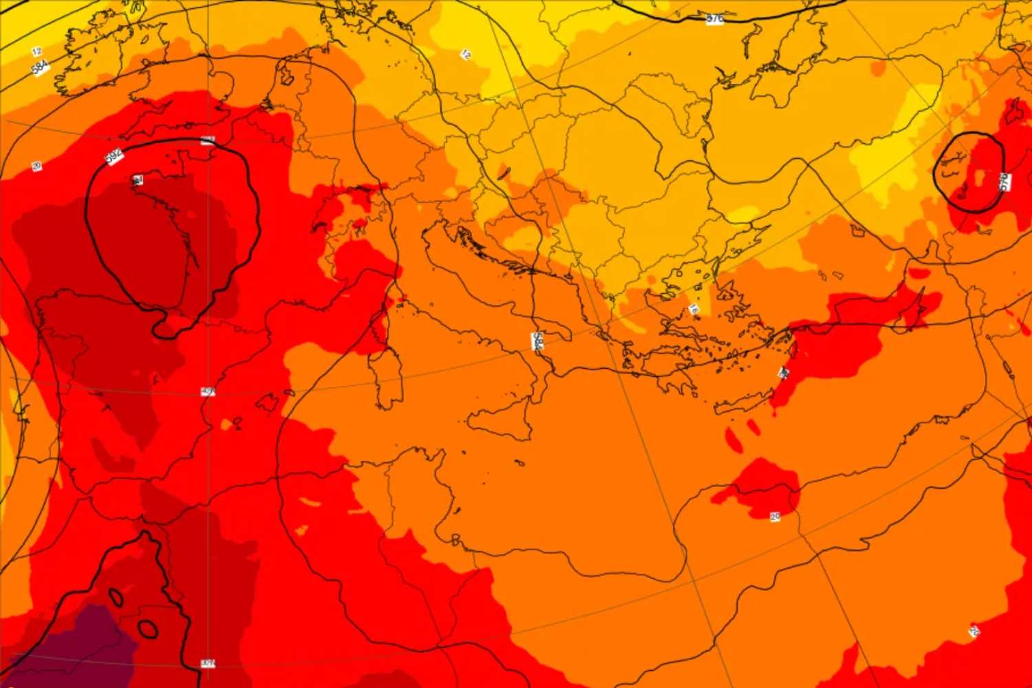
If you were hoping for a truce you will have to wait longer. The first days of August will bring with them a new surge in temperatures, and this time the models agree almost unanimously: it will be the fourth heat wave of the season, and the numbers suggest that it could prove to be the most severe of all those already seen in summer 2026.
The return of the African anticyclone
Moving the threads of this new torrid chapter will be a pulsation of the African subtropical anticyclone, which from the innermost areas of the Sahara will rise in latitude until it envelops the entire Mediterranean basin. This is not something new in the seasonal dynamics, but rather the umpteenth and most insistent manifestation: African high pressure, which in recent months has already dictated the law several times over our country, is preparing to return as a protagonist at the peak of the Italian holidays.
Temperatures, where they will reach 40°C
The most direct effect will be almost total atmospheric stability, with clear skies and dominant sun over much of the territory. Maximum temperatures will exceed 36°C on the northern plains, in the Center-South and on the two largest islands, where in some areas peaks above 40°C could be reached. It is above all the combination of intensity, geographical extension and duration that worries meteorologists: not a simple isolated peak, but a phenomenon that risks affecting a large part of the Peninsula for several consecutive days.
Some possible stormy respite
Not everything will be hot without interruptions. According to initial indications, it is not excluded that this new wave could alternate with rapid thunderstorm episodes, particularly in the northern regions. We are talking about short and localized blitzes, which are unlikely to affect the general picture but which could offer temporary thermal relief in some areas. Further details on precipitation, experts promise, will arrive in the next few days as forecast models improve.
