
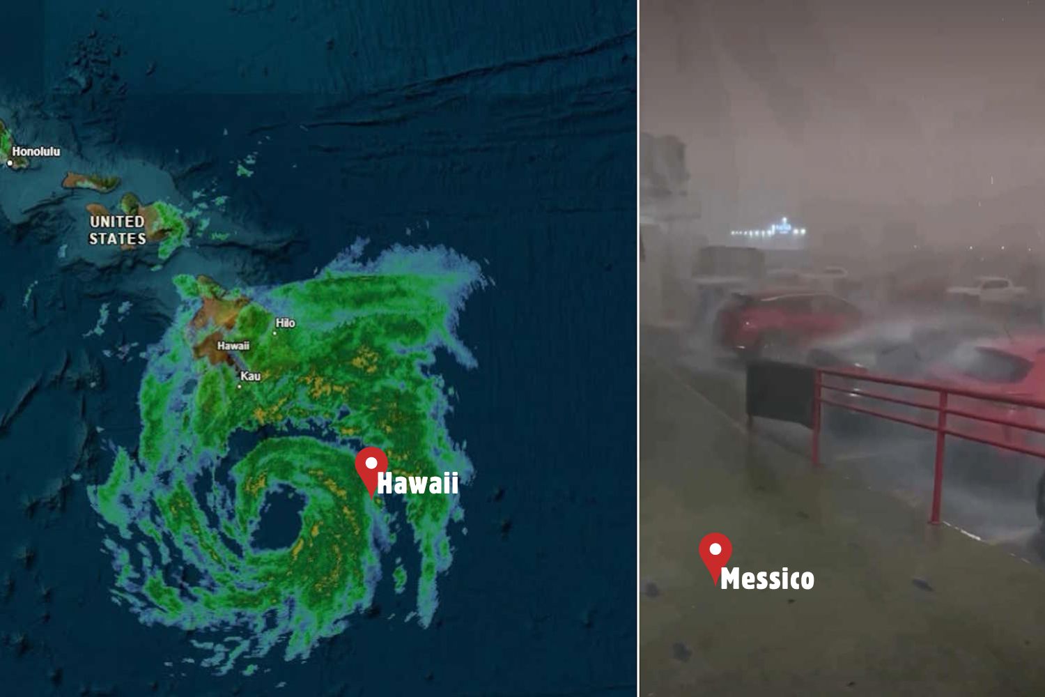
While part of the world looks to the skies to understand what is coming in the next few days, two powerful tropical systems are moving in the Pacific at the same time.
Hurricane Polo is bringing torrential rain and the risk of flooding along the western coast of Mexico, while Hurricane Nolo heads towards Hawaii, where potentially exceptional rainfall and the risk of flash flooding are expected.
Two different storms, but united by the same threat: large quantities of water discharged in a short time onto already vulnerable territories.
Hurricane Polo: Mexico prepares for rain, floods and landslides
Along the western coast of Mexico, the authorities have begun emergency operations: sandbagging in front of businesses, evacuations in the most exposed areas and opening shelters for the population. Hurricane Polo, which in the last few hours has fluctuated between category 4 and category 5 (the two highest classifications on the hurricane scale), brought very high waves, intense winds and rainfall capable of causing flooding and landslides.
View this post on Instagram
The areas considered most at risk are above all the States of Guerrero And Michoacan, in the south-west of Mexico, territories characterized by a long coastline made up of small ports, fishing villages and tourist resorts. In Lázaro Cárdenas, a port city in the state of Michoacán, the sea has already entered some homes, leaving debris, damaged furniture and layers of mud on the streets.
Some restaurants and businesses on the coast suffered damage due to waves several meters high:
The population’s fear is also linked to the memory of recent events. In 2023, Hurricane Otis devastated Acapulco, quickly becoming an extremely intense storm and causing weeks of hardship for thousands of people.
View this post on Instagram
Freight to Hawaii
As Mexico faces Polo, another hurricane is strengthening in the Central Pacific. It’s about Nolo, which became a hurricane on Thursday and could intensify further as it approaches Hawaii, according to the U.S. National Hurricane Center.
The most delicate situation concerns the Big Island, where meteorologists predict rainfall accumulations of between 38 and 76 centimeters, with even higher values in the most exposed areas. Maui could also be affected by flash floods and dangerous flooding.
The problem is that some areas of Hawaii arrive at this new event already tested by other extreme phenomena.
I have never seen three hurricane warnings on the islands in the same year in my 20 years of experience here, said John Bravender of the National Weather Service in Honolulu.
According to meteorologists, one of the biggest concerns is that the heaviest rainfall could be concentrated in areas of the Big Island already hit by previous storms.
In fact, when the ground is saturated with water, the risk that a new disturbance will cause:
Hawaiian authorities urged citizens to prepare emergency kits and activated the National Guard. Several schools were closed in anticipation of the storm’s arrival.
Why is the Pacific so active these days?
According to experts, one of the components to consider is the presence of El Niño, the natural climatic phenomenon linked to the anomalous warming of the waters of the equatorial Pacific. El Niño can modify the global atmospheric circulation: it often tends to reduce hurricane activity in the Atlantic, but can instead favor greater tropical cyclone activity in the Pacific, creating more favorable conditions for the development of storms.
This doesn’t mean that every hurricane is directly caused by climate change, but warmer oceans can provide more energy to tropical storms and influence their intensity and precipitation.
Hurricane Odalys is also present in the Pacific, but it is currently far from the coast, about 1,700 kilometers from the Mexican peninsula of Baja California. In the Atlantic, however, tropical storm Fay formed near the Azores and tropical storm Gonzalo in the area of the Cape Verde Islands.
A particularly eventful tropical season which once again reminds us of how vulnerable many coastal communities are to increasingly extreme meteorological phenomena.
