
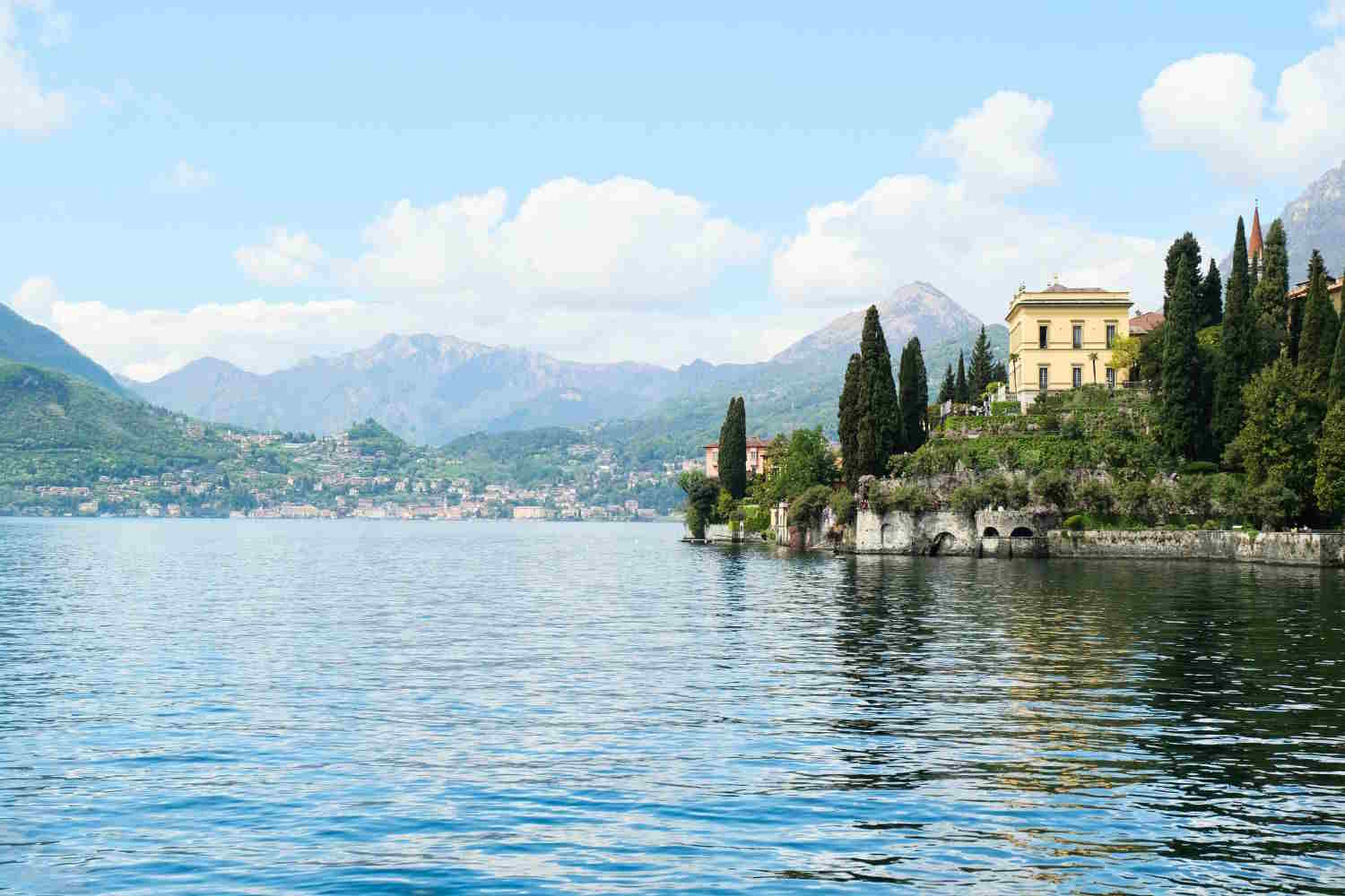
When we think of Lake Como, the small villages overlooking the water, the historic villas, the boats and the mountains that surround its shores immediately come to mind. Yet, one of the most striking features of this lake cannot be seen from the surface.
In fact, under those waters there is a very deep basin, dug over thousands of years by the action of glaciers. In some places, the distance between the surface and the seabed exceeds that which separates the top of the Mole Antonelliana in Turin from the ground.
With its maximum depth of 425 metres, Lake Como is the deepest lake in Italy. A record also confirmed by data from ARPA Lombardia, which places it ahead of Lake Maggiore, Lake Lugano and Lake Iseo.
But depth is not the only peculiarity of the Lario. Its seabed preserves very ancient sediments, traces of the geological history of the Alps and an ecosystem that functions very differently from what we observe near the shores.
Lake Como reaches 425 meters deep: where the deepest point is located
The deepest point of Lake Como is located in the western branch, in the stretch between Argegno and Nesso, where the seabed drops to around 425 metres. To get an idea of the dimensions, just think that Lake Garda, the largest in Italy in terms of surface area, reaches a maximum depth of around 346 metres. Lake Maggiore instead reaches around 370 metres.
The Lario is therefore not the largest, but it is the one that descends the lowest. Then there is an even more curious geographical detail: the surface of Lake Como is located approximately 198 meters above sea level. This means that, at the point of maximum depth, the seabed reaches approximately 227 meters below sea level.
Of course, this does not mean that the lake water is directly connected to the sea or that it is salty. The basin is surrounded by land and contains fresh water. It is simply the bottom of its basin that is at a lower altitude than the sea level. A characteristic that tells how profound the transformations undergone by this territory are during its geological history.
How the deepest lake in Italy was formed
To understand why Lake Como is so deep we need to go back to the great glaciations that affected the Alps. During the glacial phases of the Quaternary, enormous masses of ice occupied the Alpine valleys and pushed towards the Po Valley. Among these was the great Adda glacial system, fed by glaciers coming from Valtellina and the surrounding valleys.
The ice, with its weight and movement downstream, contributed to shaping and deepening the depressions already present in the area. Together with glacial erosion, the geological structure of the rocks and the previous evolution of the valleys also played a role. As the climate became warmer and glaciers retreated, the depressions became filled with water. This is how the lake basin we know today was formed.
Even the characteristic inverted Y shape of Lake Como derives from the conformation of the ancient glacial valleys. The western branch ends in the city of Como, the eastern one reaches Lecco, while the northern branch extends towards Colico. In the center is Bellagio, the promontory that separates the two southern branches. The result is a lake with a very particular shape, with seabeds that change considerably from one area to another.
What really lies 425 meters below the surface?
Anyone who imagines the bottom of Lake Como as a uniform expanse of rocks would be surprised. Under the water there are deposits of mud, sand and other sediments that have accumulated over time. These materials come mainly from the rivers and streams that feed the basin, but also from the erosion of the slopes and from the natural processes that affect the surrounding mountains.
The main tributary of the lake is the Adda, which transports water and sediments from Valtellina. Over the millennia, part of these materials has settled on the seabed and formed successions of layers that preserve information on the evolution of the environment. Geological research has also identified particular deposits produced by large turbidity currents, i.e. masses of water loaded with sediment that can descend along the submerged slopes and reach the deepest parts of the basin.
A study published in the journal Palaeogeography, Palaeoclimatology, Palaeoecology analyzed these deposits in Lake Como, reconstructing some of the events that contributed to shaping the seabed during the Holocene. In other words, the bottom of the lake is a natural archive of the history of the area. By studying its sediments, researchers can obtain information on ancient floods, movements of material along the slopes and environmental changes that occurred in the past.
In the deep waters of Lake Como the sunlight does not reach
At several hundred meters depth the conditions are completely different from those we know during a summer day on the shores of the lake. Sunlight can only penetrate the upper layers of the water and progressively decreases with depth. At 425 meters the seabed is immersed in darkness. The temperature also changes. During the summer, surface waters warm up thanks to the sun, while deep waters remain much colder and relatively stable.
A thermal stratification is thus created: the warm and less dense layers remain on the surface, while the cold and denser ones occupy the lower part.
This separation has important consequences for aquatic life, because it limits exchanges between surface and deep waters. In the upper layers, where light reaches, phytoplankton can carry out photosynthesis. Lower down, however, the availability of oxygen depends above all on the water circulation processes and on the consumption by organisms and decomposing organic matter. The great depth of the Lario makes these balances particularly delicate.
The problem of deep waters that can’t mix
One of the most interesting environmental issues concerns the exchange of water at the bottom. In shallower lakes, during cold periods, the decrease in surface temperature can encourage mixing of the water. In this way the oxygen present in the upper layers can also reach the lower ones.
In very deep lakes, such as Lake Como, the process is more complex. For the mixing to reach the seabed, favorable meteorological conditions are needed, with a sufficiently intense and prolonged cooling of the surface waters. The wind can contribute to circulation, but it is not always sufficient to involve the deeper layers.
A report from the Lombardy Foundation for the Environment already reported that the Lario was subject to only occasional complete mixing and indicated the winter of 1999 as the last total event recorded up to the period considered by the document. It does not mean that the deep waters are still or lifeless. However, it means that their turnover can be very slow.
And this is precisely why ARPA Lombardia monitors parameters such as temperature, dissolved oxygen, nutrients and phytoplankton over time. This is fundamental information for evaluating the ecological state of the lake and understanding how it reacts to environmental changes.
Climate change can put even the deepest lake in Italy in difficulty
Global warming doesn’t just affect the oceans. Lakes are also affected by rising temperatures and changes to their natural balance. As winters become milder, surface waters may cool less than in the past. In large, deep lakes this can make vertical mixing more difficult, with possible consequences for oxygen availability in the lower layers.
More persistent stratification can also influence the distribution of nutrients and the functioning of aquatic ecosystems. Not all lakes react in the same way and the effects depend on local conditions, depth and basin characteristics. However, long-term monitoring of Lake Como is particularly important to identify any changes.
Lario is part of the Italian network for long-term ecological research, LTER-Italy. ARPA Lombardia collects data on the chemical, physical and biological characteristics of its waters, useful for studying the evolution of the ecosystem also in relation to the climate crisis.
A natural heritage that cannot be seen from the shore
Lake Como is known worldwide for its landscape, but much of its history is hidden beneath the surface. The 425 meters of depth tell the story of the action of the ancient glaciers, the transformation of the Alpine valleys and the accumulation of sediments that continue to preserve information about the past. Then there is an entire system of natural processes that takes place far from our eyes, from the circulation of water to the exchange of oxygen, up to the deposition of materials transported by rivers. It is a dimension of the lake less known than the villas, villages and panoramas that attract visitors from all over the world every year, but equally important.
And perhaps the most surprising fact remains precisely this: while we observe Lake Como from the shore, in some points below us there are over 400 meters of water and a seabed that is lower than sea level.
