
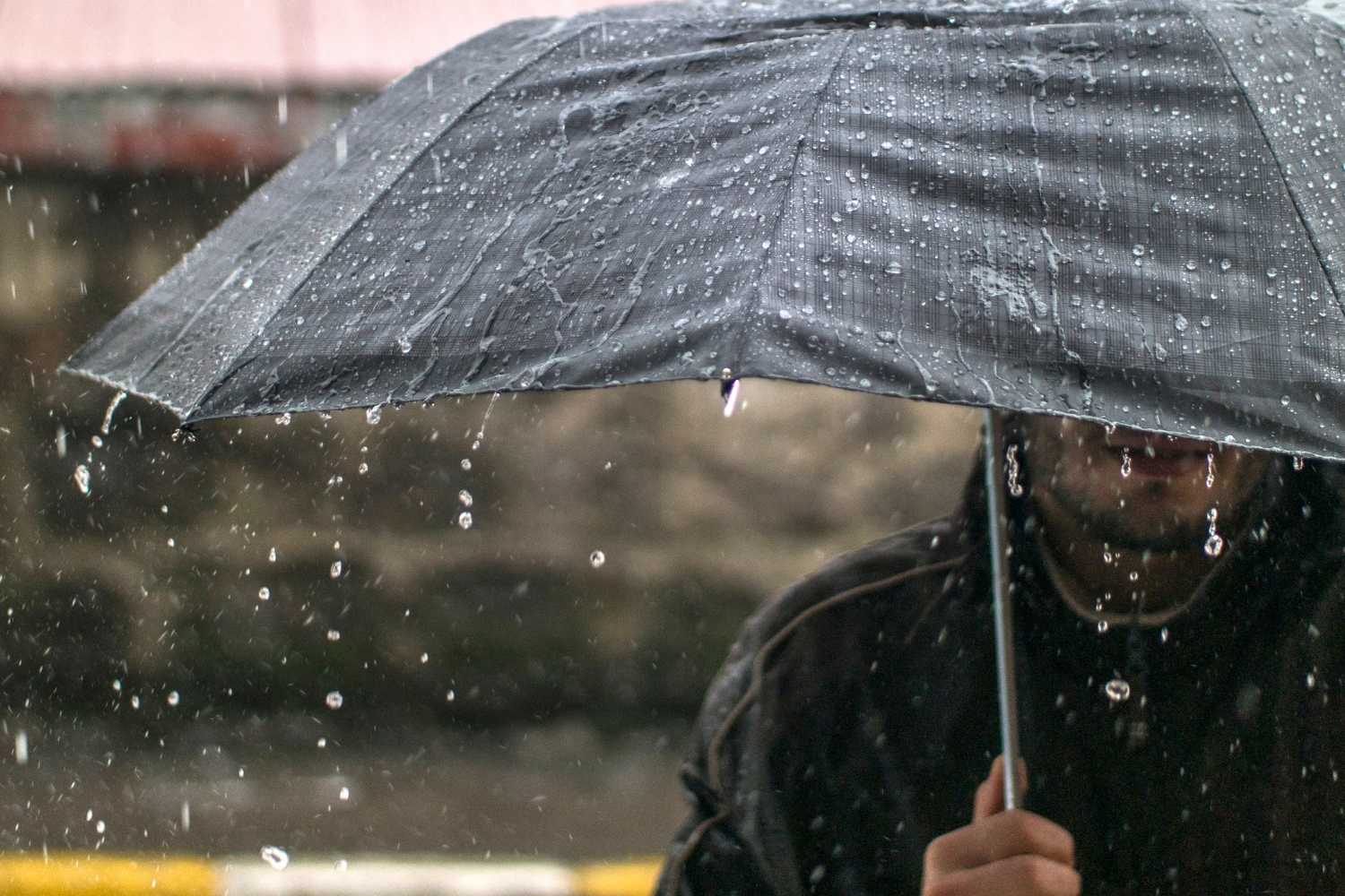
The truce lasted the space of a Sunday and from today, Monday 9 November, the Atlantic currents will once again push disturbances towards Italy, with a first passage between today and Wednesday and a second, much more robust, expected from Thursday. No alerts, at least for the moment, given that the Department of Civil Protection does not expect any significant phenomena today.
Light rain today, widespread thunderstorms tomorrow
The meteorological surveillance bulletin issued on 8 November, which also covers today and tomorrow, indicates isolated to scattered rainfall over Liguria and northern Tuscany, destined to spread in the afternoon to Emilia, the Lombardy plains and pre-Alps and the Venetian plain. Weak quantities.
On Tuesday 10th the picture changes. In eastern Liguria, northern Tuscany and the ridges of the Emilian Apennines, the Department expects widespread and persistent rainfall, even in the form of showers, with moderate to high quantities. Scattered phenomena will affect other sectors of Liguria and Tuscany, the Emilia-Romagna Apennines, western Umbria and northern and eastern Lazio, while in the rest of the Centre-North and part of the South the rain will be more irregular.
maps.
The wind also picks up, locally strong from the south-east over the Tyrrhenian Lazio and from the south over western Sicily, with gale-force gusts from the south-west on the ridges of the northern Apennines and the Umbria-Marche region. The central Tyrrhenian Sea is very rough in the eastern sector. The cold, meanwhile, is still far away: the minimum temperatures will rise significantly in the Centre-North and on the two largest islands, with peaks of 24-26 degrees.
Thursday the hardest passage
On Wednesday, only residual effects should remain. From Thursday 12th the arrival of a new disturbance is expected, with intense rains especially in the Centre-North and stormy winds from the southern quadrants, and bad weather that will continue on Friday, estimated peaks of 80-100 millimeters in 24 hours, Scirocco and Libeccio up to 70-90 kilometers per hour on the exposed coasts and waves of 3-4 meters offshore, with snow in the Alps beyond the 2,000-2,100 meters. A gradual improvement is expected over the weekend, with the probable infiltration of colder air.
