
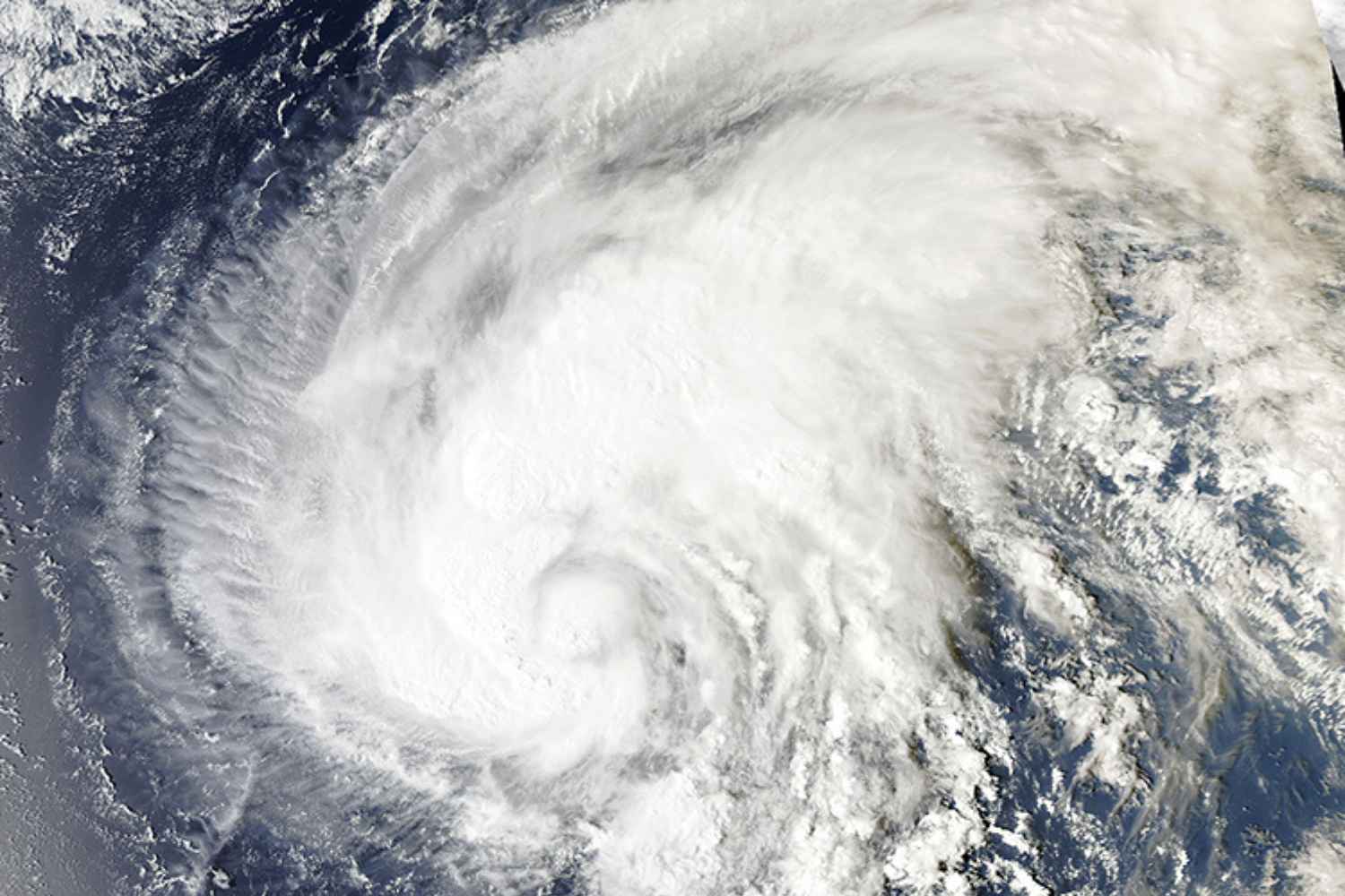
Japan is preparing to face the arrival of Typhoon Dujuan, an intense tropical system that is moving up the north-western Pacific towards the Japanese archipelago. The areas most monitored are the eastern ones of the country, in particular the Tokyo metropolitan area and Chiba prefecture, where the most significant effects of the storm are expected.
According to updates from the Joint Typhoon Warning Center and the Japan Meteorological Agency, Dujuan is moving northeast at a speed of about 24 kilometers per hour. The system has sustained winds between 120 and 130 km/h, while the most intense gusts could reach up to around 198 km/h, with the possibility of causing damage to structures, falling trees and interruptions to the electricity grid.
The risks
The most worrying aspect concerns the combination of wind, rain and rough seas. Waves exceeding 9 meters and a possible increase in sea level caused by storm surge are expected along the coasts, the phenomenon whereby very low pressure and the push of the winds temporarily raise the sea surface, increasing the risk of storm surges and flooding in coastal areas.
When the typhoon arrives
The most delicate passage is expected between September 21 and 22, when the typhoon could directly affect the Tokyo area and nearby regions. Authorities are paying particular attention to heavy rainfall, which in some areas could bring very high accumulations in a few hours. In large urban areas the main risk is represented by the rapid accumulation of water on roads, underpasses and underground infrastructures, as well as the possible increase in the levels of minor watercourses.
The bad weather has already had consequences on transport: hundreds of flights have been canceled and some railway lines have been slowed down or suspended. In some areas of Japan, thousands of people have also been affected by electricity supply problems linked to adverse weather conditions.
After passing close to the eastern regions of the country, the predicted trajectory indicates a progressive shift towards the north-east. The typhoon should subsequently affect the northern areas of Japan, approaching the Tohoku region and then the island of Hokkaido, where it could gradually lose intensity due to entry into colder ocean waters.
No significant direct effects are currently expected on China and the Korean Peninsula, although the large wind circulation associated with the system could create difficulties for navigation and some air routes in the Pacific Northwest.
Japan therefore remains in a state of maximum attention as Dujuan continues its race towards the north-east. The next few hours will be decisive in assessing the actual intensity of the effects on the territory and on the most exposed coastal areas.
