
The beginning of next week could mark a particularly critical weather phase for some areas of the country. The main forecast models indicate the formation of an Afro-Mediterranean vortex, destined to influence above all the southern regions and the larger islands, with heavy rainfall, strong winds and possible hydro-geological criticalities.
Low pressure towards the Mediterranean
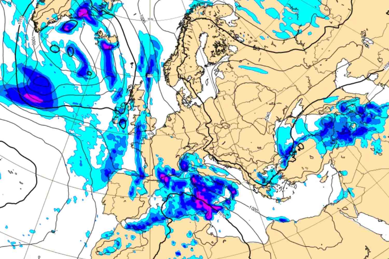
At the base of the worsening there is a large area of low pressure which will position itself on the Iberian Peninsula over the weekend. Blocked in its natural movement eastwards by the presence of the anticyclone over central-eastern Europe, the depression will find an escape route towards the south, sliding over North Africa. Between Monday and Tuesday the system will reach the central Mediterranean, intensifying thanks to the energy contribution provided by the still relatively mild waters.
The most exposed regions
According to current projections, Sardinia, Sicily and Calabria will be the areas most affected. Widespread and locally very intense rain is expected from Monday, with phenomena that could take on a cloudburst character, especially in the Tyrrhenian and Ionian sectors. Rainfall accumulations could locally exceed 100-150 millimeters in a few hours, increasing the risk of flooding and landslides.
Stormy winds, storm surges and snow in the mountains
The cyclone will be accompanied by strong or stormy winds from the eastern quadrants, capable of generating significant storm surges along the exposed coasts, in particular between Sicily and Calabria. At altitude, the worsening will also bring heavy snowfall: on Etna the accumulations could exceed one metre, while snow is also expected on the peaks of Aspromonte and Sila.
More stable situation elsewhere, but with colder air
In the rest of Italy, conditions should be more stable, especially in the Centre-North, even if eastern currents will bring in cold air from the Balkans, favoring a drop in temperatures. It is not excluded that, in the middle of the week, some of the instability could also extend to the central regions.
You might also be interested in: