
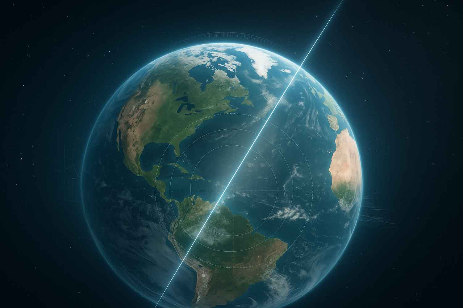
Over the last twenty years the Earth has taken a sort of “step sideways”. We didn’t feel it vibrate, there was no alarm, no apocalyptic signal. Nevertheless, the earth’s axis has changed position by about 80 centimetresa measure that in the collective imagination makes one think of a ruler rather than a planetary phenomenon.
And yes: it really happened. And the cause, according to a study published in Geophysical Research Lettersit’s us. More precisely: the water that we take from the ground and that ends up in the oceans.
Between 1993 and 2010, humanity mined 2,150 gigatons of groundwater. It’s a huge amount, hard to imagine. But what matters is the journey that that water takes once it rises: it passes through pipes, sprinklers, cities… and finally reaches the sea.
What does this have to do with the earth’s axis?
Scientists led by geophysicist Ki-Weon Seo they reconstructed all the planet’s water movements using satellite data. When they also included the water removed from the aquifers into the models, suddenly the deviation of the earth’s axis matched perfectly with the real observations.
It’s like shifting weight on a spinning top as it spins: change balance, change trajectory. And so, as we irrigated fields or filled cisterns, the Earth has changed the way it rotates. This research gives substance to a suspicion already advanced by NASA in 2016, but now there is a precise, clear, verified figure: groundwater pumping is one of the main factors in the drift of the Earth’s axis.
Because everything is connected
Every liter pumped from an aquifer doesn’t stay where it is. It reaches seas and oceans, contributing to sea level rise. The study estimates that this activity alone added approximately 0.6 centimetres at ocean level in the analyzed period. It is not an enormity, but it is part of a mosaic that is being filled piece by piece.
And there are areas that weigh more than others: the North West of Indiawhere agriculture extracts water at very high rates and the Western United Stateswhich has been experiencing a structural water crisis for decades.
Drawing water at those latitudes, the researchers explain, has a particularly strong effect on the Earth’s axis for geometric reasons. In other words: .
Measure the Earth’s axis to understand how we use water
Until now, observing the Earth’s axis was a matter for geophysicists, something that revealed the dynamic “character” of the planet. Now it becomes a much more concrete tool: following the movements of the axis allows us to understand how water reserves on Earth change. Not government by government, not country by country, but at the level of entire continents.
SEO sums it up like this:
The orientation of the Earth’s axis helps us reconstruct how large masses of water have moved over time.
It’s a new way to read the global water crisis. It doesn’t come from bills, it doesn’t come from artificial basins: it comes from the inclination of the planet. And it’s a very difficult way to ignore.
