
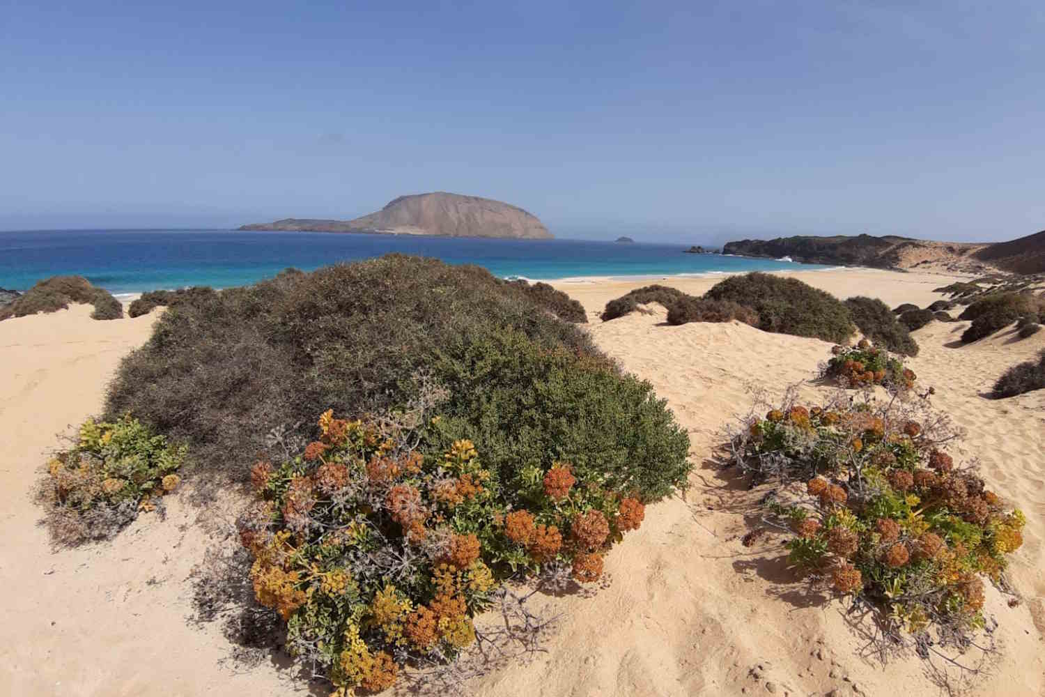
There is a stretch of the Atlantic, just twenty minutes by ferry from the port of Órzola, north of Lanzarote, which separates two completely different worlds. On the one hand, the compulsive tourism of the best-known Canary Islands. On the other La Graciosa, the largest island of the Chinijo Archipelago, where the streets are still made of sand and wind.
In June 2018, after years of battles carried out by its residents, La Graciosa officially obtained the title of “eighth island of the Canaries”. A recognition that today appears in every tourist catalogue, but which risks making us forget the most important thing: this island of just 29 square kilometers is the heart of the Chinijo Archipelago Marine Reserve, established in 1995 and, with its 70,700 hectares, the largest marine reserve in Europe.
Here the local community has lived off artisanal fishing since the end of the 19th century and is the guardian of an ecological balance that can easily break. For this reason we have thought of a guide that does not limit itself to telling you what to see, but that helps those who want to visit it to do so, leaving the lightest possible impression.
A view that takes your breath away: the Mirador del Río
View from Mirador de Rio on the island of La Graciosa @SimonaFalasca/GreenMe
There is a point, on the north coast of Lanzarote, from which La Graciosa reveals itself in all its beauty even before setting foot on it: it is the famous Mirador del Río, the viewpoint designed by César Manrique which overlooks the narrow stretch of sea that separates the two islands. From up there, overlooking the cliff, the view embraces the entire archipelago: the low, golden island of La Graciosa, the volcanic profiles of Montaña Amarilla and Montaña Bermeja, and further away the silhouettes of Montaña Clara and Alegranza, which seem to float suspended between the blue of the ocean and the blue of the sky.
It is one of those views that explain, better than any description, why this corner of the Canary Islands has fascinated travelers and naturalists for decades. There is no traffic, there is no noise, there is no frenzy that characterizes the most touristy islands: only the wind, the sound of the sea and an almost suspended silence, which remains imprinted on those lucky enough to admire it, perhaps at dawn or sunset, when the light lights up the colors of the coast and makes everything even more unreal. It is not surprising that the Mirador del Río has become, over the years, an almost obligatory stop for those visiting Lanzarote: even before getting on the ferry to La Graciosa, it is here that you really begin to fall in love with this remote corner of the Atlantic.
Nature as the only protagonist
In La Graciosa you will not find attractions built specifically for tourists. There is only intact volcanic geology, to be looked at with respect.
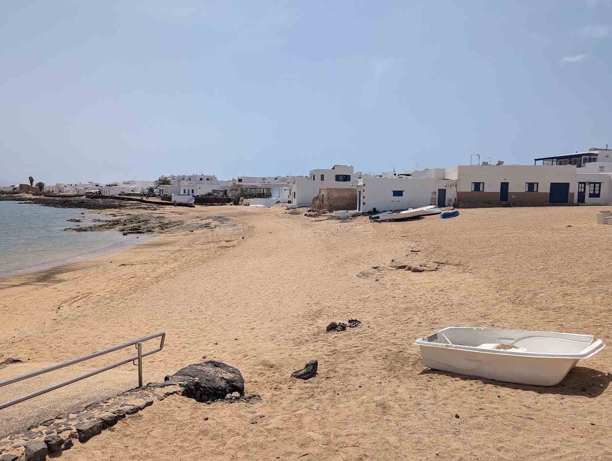
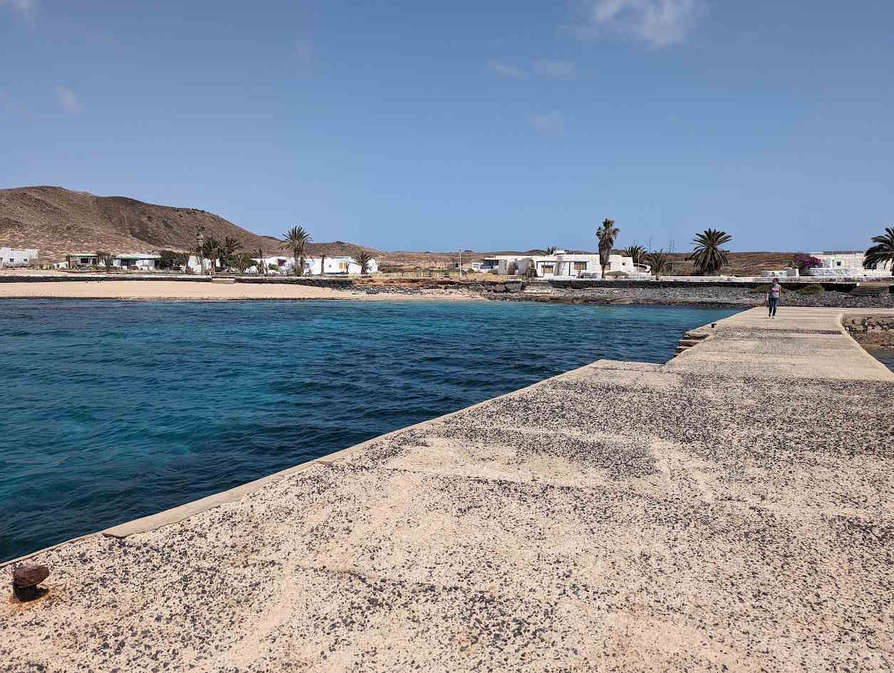
Caleta de Sebo is the only real inhabited center on the island, together with the small seasonal settlement of Pedro Barba.
@SimonaFalasca/Greenme.it
Low, white houses, with green or blue window frames, overlooking sandy streets where shoes become almost superfluous.
@SimonaFalasca/Greenme.it
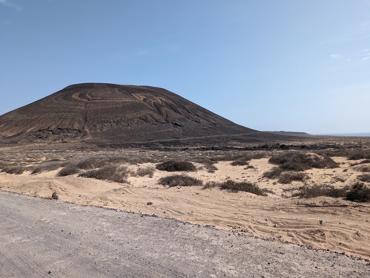
The hinterland instead tells the volcanic history of the Canary Islands through two imposing presences: Montaña Amarilla to the south, with yellow ocher tuff walls shaped by the wind, and Montaña Bermeja to the north, with intense reddish shades.
@SimonaFalasca/Greenme.it
And then there is the Risco de Famara, the cliff that from the southern coast offers an impressive view of Lanzarote: a wall of dark rock that seems to dive into the turquoise of the narrow arm of the sea called El Río.
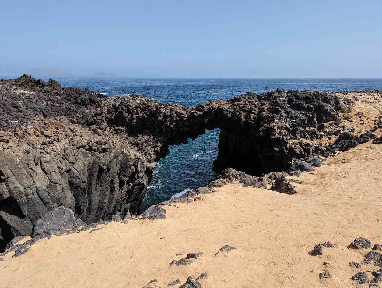
@SimonaFalasca/Greenme.it
Beaches to be protected, not just photographed
The beaches of La Graciosa are very fragile ecosystems, and visiting them means accepting some simple, but non-negotiable rules: no shells, stones or sand to take away (even a small withdrawal, multiplied by thousands of tourists, accelerates coastal erosion) and no trace of your passage.
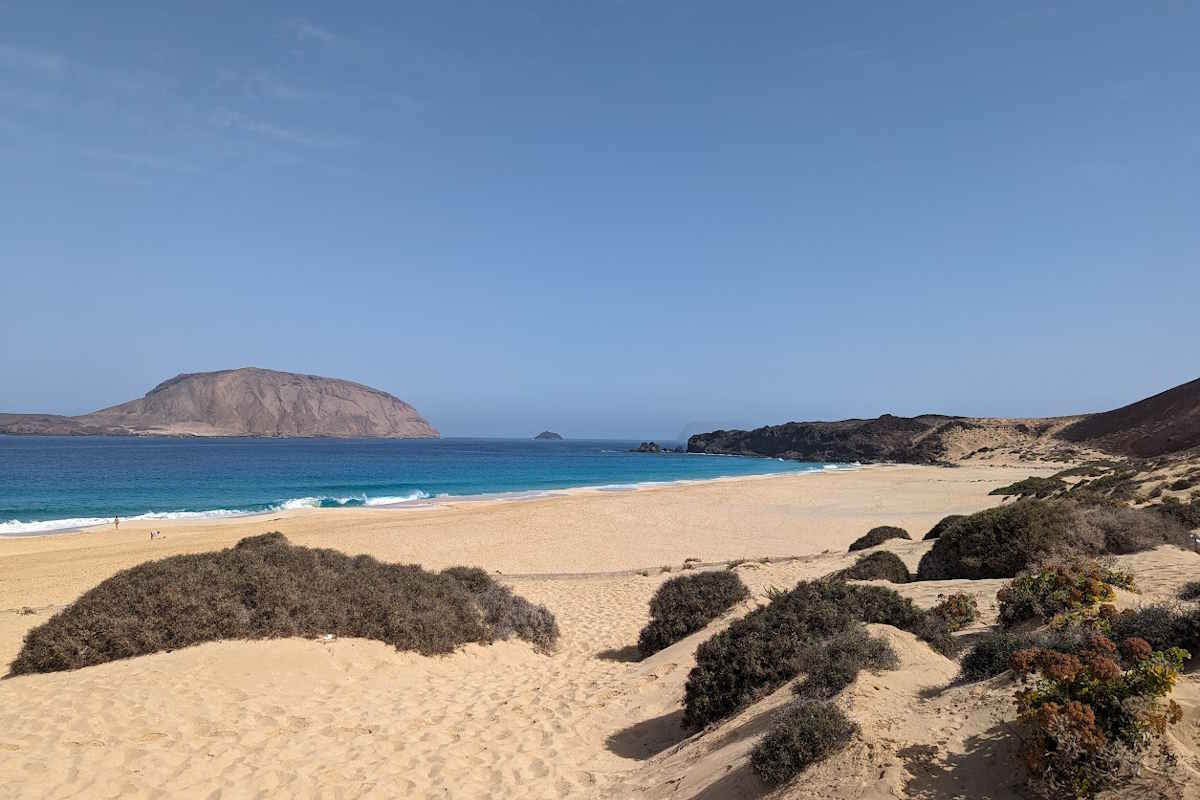
Beach on the island of La Graciosa @SimonaFalasca/Greenme.it
Playa de las Conchas, to the north at the foot of Montaña Clara, is probably the most iconic image of the island: golden sand and turquoise waters. But be careful, because the currents here are strong and treacherous: it is a beach to be admired, rather than experienced in the water, and bathing is often discouraged or prohibited.
The situation is different in Playa de la Cocina and nearby Playa Francesa, sheltered from the southern winds under the profile of Montaña Amarilla. Calm and transparent waters, perfect for light snorkeling, with seabeds rich in marine biodiversity to observe without touching anything.
Getting around without a car: the electric bicycle as an obligatory choice
Private cars do not exist on the island. You get around on foot, with the few off-road vehicles authorized for residents for real logistical needs, or by bicycle.
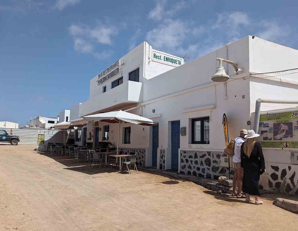
@SimonaFalasca/Greenme.it
To explore the dirt tracks of the interior, the e-bike is the most sensible solution: it allows you to move in silence, reduces fatigue against the constant trade winds and limits soil erosion compared to heavy vehicles.
A single rule, but a fundamental one: never go off the marked paths. Off-trail trampling damages the pioneer vegetation that holds the sand dunes together, and the damage it causes is often irreversible.
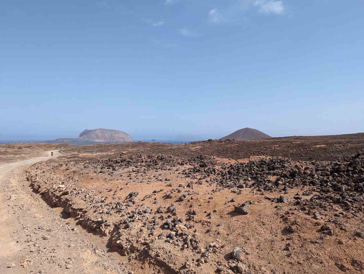
@SimonaFalasca/GreenMe
When to leave to weigh less on the island
The climate of the Canaries is mild all year round, but choosing the right period makes the difference for the island and for the quality of your experience.
The best period is from September to November, the “calmas” season: the trade winds calm down, the sea is calmer and the water temperatures invite you to swim.
Between March and August the sun is more intense but the trade winds are also constantly felt: those who travel by bicycle must take headwinds into account when planning routes.
August, Easter and the Christmas holidays are the times when the island receives the highest number of visitors in a single day, with a strong impact on its limited resources. If you have a choice, prefer the autumn or winter months, perhaps on weekdays: it helps to better distribute the tourist load over the year.
How to get there and where to sleep, with a few extra precautions
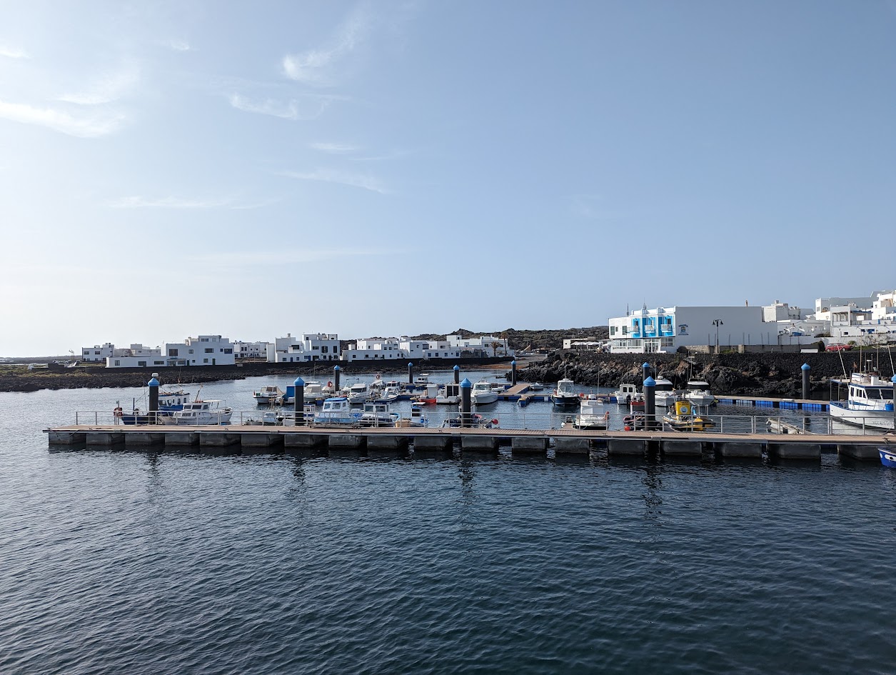
To get there, ferries leave from the port of Órzola, in Lanzarote, operated by local companies Líneas Romero and Biosfera Express. The crossing takes about 25 minutes, with frequent trips starting from 8.30-10.00 in the morning and last returns in the late afternoon, between 5.00 and 6.00 pm depending on the season. A small gesture that helps: purchasing digital tickets in advance, avoiding non-recyclable thermal paper and facilitating the management of flows by operators.
For sleeping, La Graciosa has chosen not to develop large hotels or resorts. The hospitality is concentrated in Caleta de Sebo, among holiday homes and small locally owned apartments: a model of widespread tourism that keeps the economic value in the area, instead of dispersing it towards large chains.
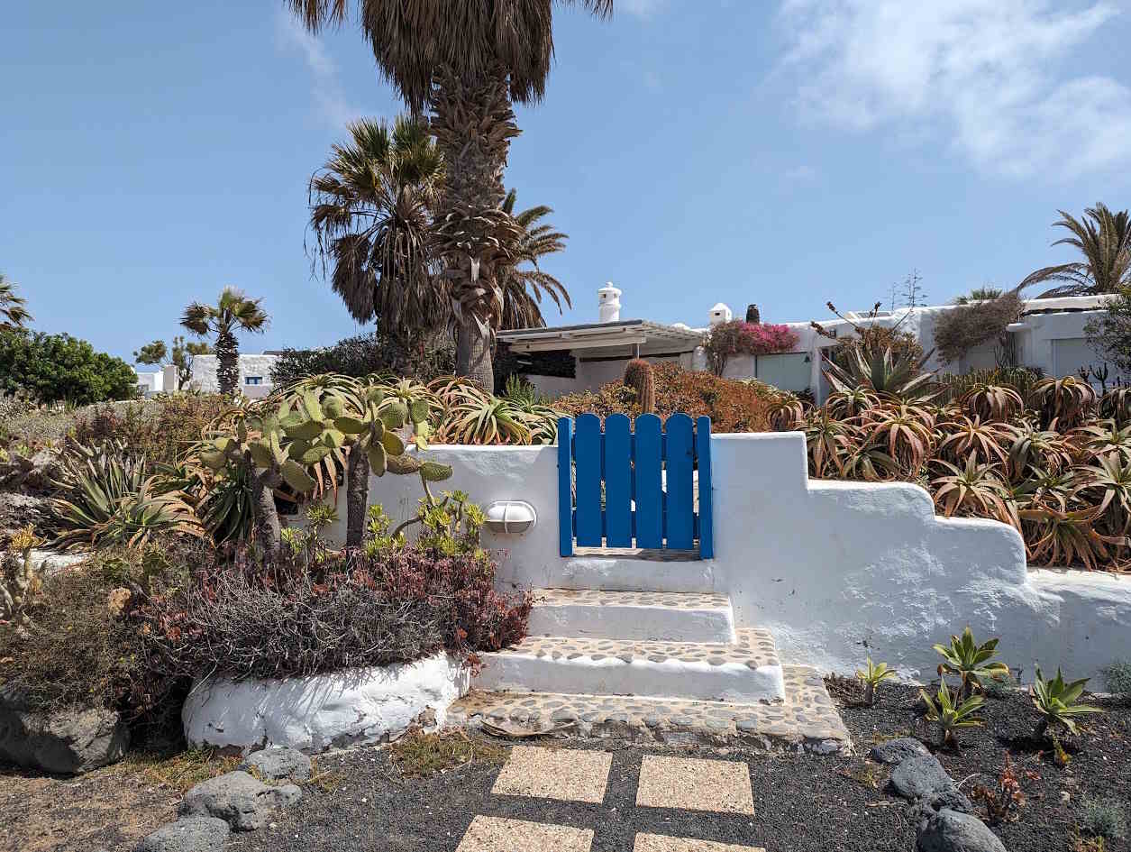
@SimonaFalasca/GreenMe
Those who love camping can only do so in an authorized point, the Playa del Salado Camping Area. The service is free but with limited places, and requires a permit to be requested in advance on the official website of the Canary Islands National Parks: a measure that protects the coastal strip and avoids wild camping.
There is one last detail that is worth remembering before leaving: La Graciosa does not have its own sources of fresh water. All the water used here is desalinated, and it is a very precious resource. This is why it is best to arrive with a refillable thermal water bottle, say no to single-use plastic and take your separable waste back to Lanzarote, where the treatment systems can manage it better.
Visiting La Graciosa means, ultimately, accepting a simple idea: here the protection of the territory comes before the comfort of those who travel. And it is perhaps precisely this, more than any beach or volcano, the reason why it is worth going there.
