
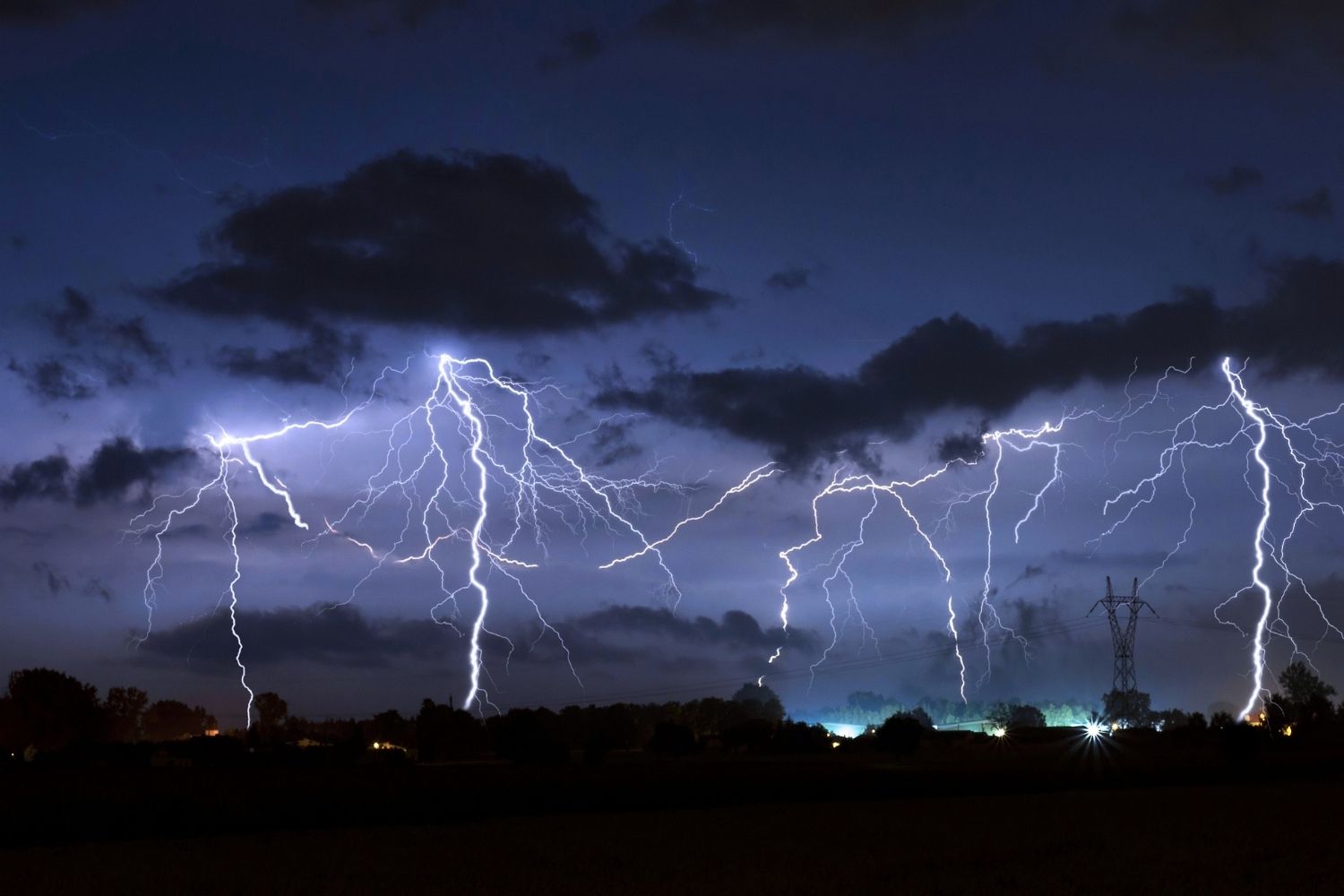
Today Calabria woke up to weather conditions that triggered the yellow alert. The Civil Protection has issued the warning for storm risk, hydrogeological risk and hydraulic risk over a large part of the regional territory, from the Ionian side to the Tyrrhenian side, with critical issues that could translate into locally intense phenomena in the next few hours.
The sectors affected by the alert
The storm warning involves four sectors of the Ionian side (northern, central-northern, central-southern and southern) and the same number on the Tyrrhenian side. Same classification, ordinary/yellow, for the hydrogeological risk, extended to the same areas, while as regards the hydraulic front the warning instead focuses on the central-southern and southern sectors of both sides.
Sun and heat in the rest of Italy
In the rest of the country the scenario is the exact opposite, with clear skies, full sun and the African anticyclone firmly in command. Heat storms may develop in the afternoon, the classic response of the atmosphere to strong daytime heating, with the most exposed reliefs, primarily the Alps, but also the Emilian Apennines, the mountains between Lazio and Abruzzo, the Calabrian Apennines and the mountains of eastern Sicily. In the evening some showers could persist in the Lombard Alps and Alto Adige, while in Calabria, where the alert is in force, the phenomena risk being more pronounced.
The temperatures of the day
Temperatures, meanwhile, continue their run. The maximum temperatures are between 32 and 38 degrees, with the most significant increases expected in the Centre-North and in Sardinia. The winds remain weak, with just a few strengthening breezes along the coasts.
Towards August, the heat doesn’t let up
It must be said that this is an isolated episode in a situation that for weeks has been speaking a single language, the well-known one of heat. From mid-week, temperatures are set to rise further, with peaks that in some areas could approach 40 degrees in view of August Bank Holiday. The storms in the mountains, although locally intense, will not be enough to affect an anticyclonic phase which promises to be among the most persistent of the season.
