
The African anticyclone continues to dominate the Italian weather scene and will not give respite at least until the beginning of next week. The intense heat is felt especially in the Centre-North and inland Sardinia, while in the South temperatures remain slightly more bearable thanks to weak currents from the north-east, although there are some isolated peaks in the inland areas of Campania and Calabria.
A red-hot bubble arriving at the end of the month
According to experts, the scenario is destined to worsen further in the coming days. At the moment Northern Italy is not under the heart of the African anticyclone, positioned rather between Spain and France, but is affected by a second maximum of high pressure over central Europe. An air mass of African origin is passing over the Po Valley, modified along the way but still hot and dry. The real alarm, however, concerns the expected arrival at the end of June of a tropical continental air mass: an extremely dry and persistent heat bubble, a phenomenon that in the past has only occurred during the historic heat waves of 2003, 2017 and 2022.
What to expect in the next few days
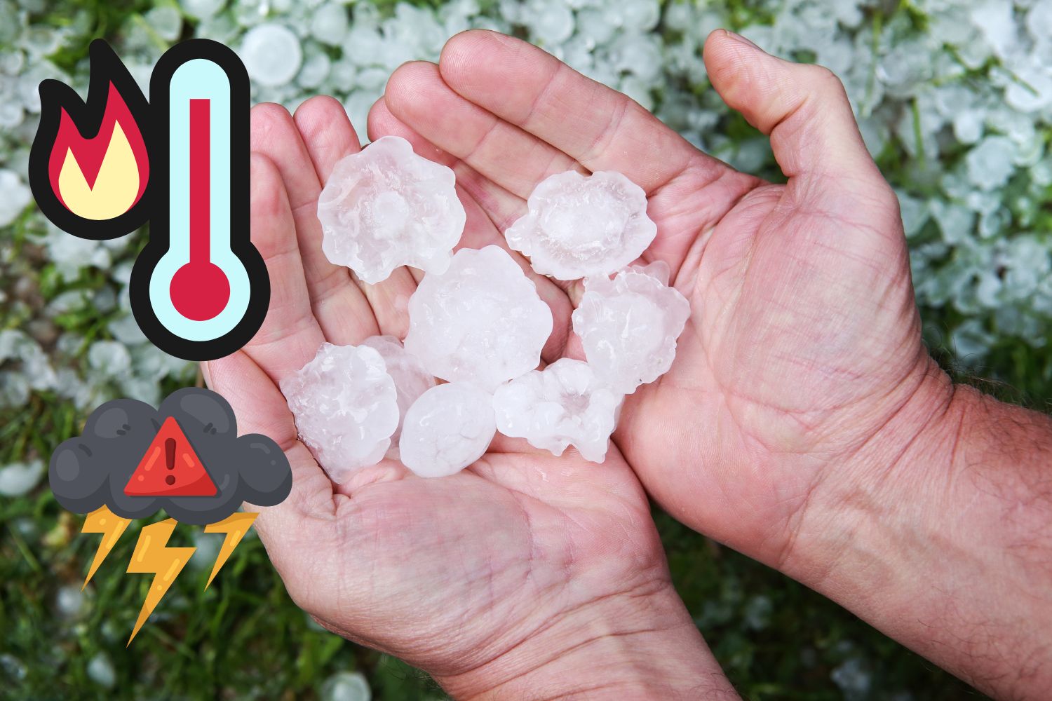
The heat will be oppressive everywhere, with temperatures further increasing in the North and Center up to peaks of 37-39°C. It is an anomalous heat not only for its intensity, but above all for its persistence. The afternoon instability will remain confined to isolated and irregular showers on the Alpine, pre-Alpine and Apennine reliefs, without significant spillover towards the plains, although the sudden formation of some localized heat thunderstorms cannot be ruled out. In particular, attention remains high on the central-western Alpine arc, where afternoon thunderstorms may be more frequent and locally intense, with the possibility of hailstorms and gusts of wind. On the Apennine front, the most exposed areas will be those in the South, between Campania and Basilicata, where some encroachment towards the Tyrrhenian coast cannot be ruled out. The internal areas of the major islands may also be affected by isolated afternoon showers.
The peak at the weekend
Over the weekend the heat is expected to intensify further, bringing nighttime sultriness not only to the cities of the Centre-North, with minimum temperatures that will not fall below 23-25°C due to the heat island effect, but also to the countryside and at altitudes up to 1000 metres. During the day, maximum temperatures could reach almost 40°C in the North and Centre, particularly in the areas of Bologna, Florence, Rome and in the Apulian hinterland, while the rest of the South and Sicily will remain between 32 and 35°C. It will be scorching and dry heat which, thanks to poor ventilation, will cause severe physical discomfort. Afternoon thunderstorms will remain frequent only in the Alps, while elsewhere they will appear as isolated episodes, completely insufficient to mitigate the grip of the heat.
How long will this heat wave last?
According to the ECMWF model, a cooler break could only arrive at the beginning of July, but the forecast horizon remains uncertain beyond twelve days. Of particular concern is the exceptional duration of this phase, which will lead to over ten consecutive days above 35°C with peaks of 40°C, with possible serious repercussions on health, agriculture and water resources. Attention must also be paid to the rest of Europe: absolutely exceptional and unprecedented values are expected in France and Germany.
