
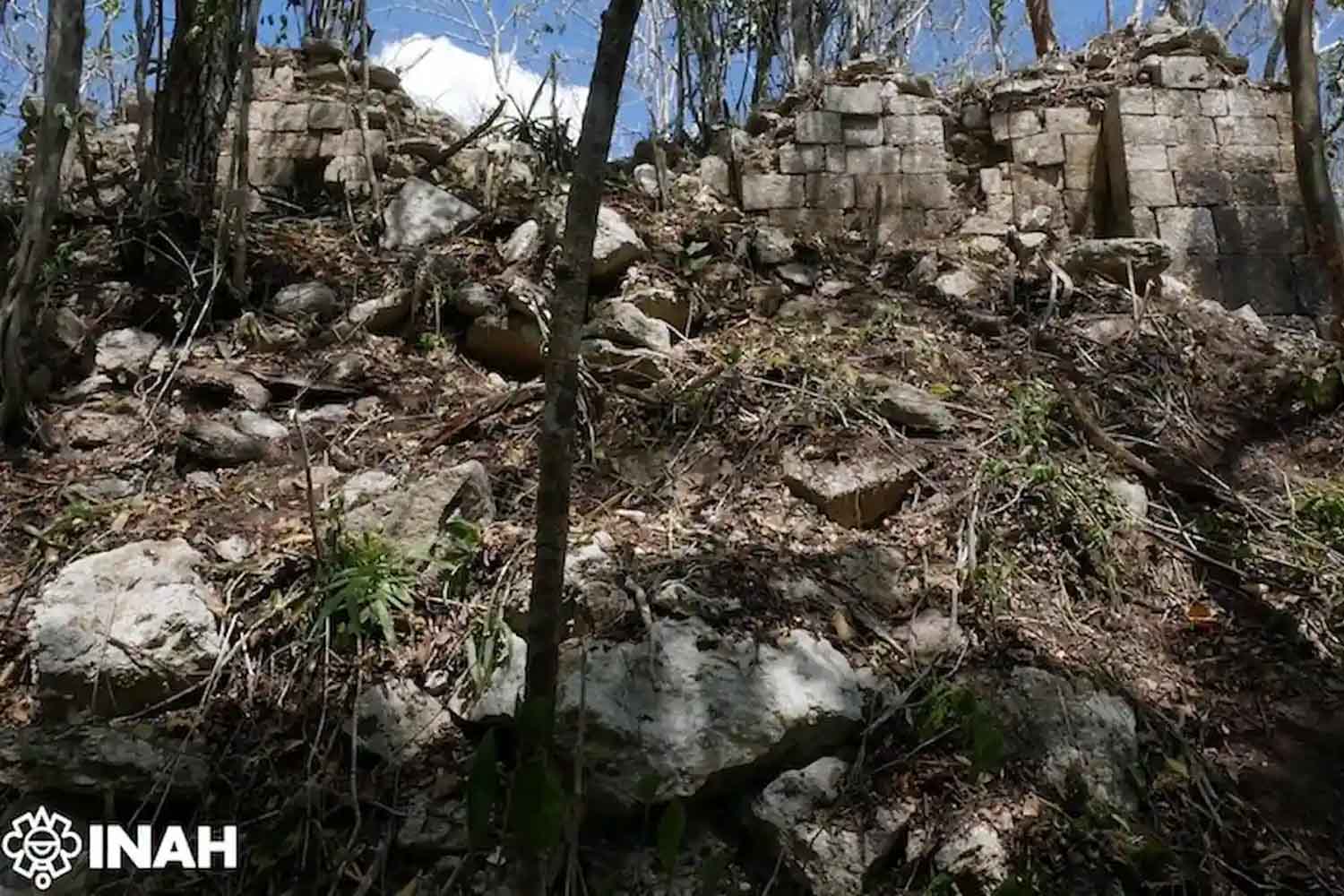
Even before the temples, the absence of a road speaks here. To get to Minanbé, in the south-east of Mexico, the archaeologists had to cut through the vegetation with machetes for almost five kilometres, then continue with quads and finally on foot, inside an area of the Calakmul Biosphere Reserve where the forest has worked for centuries like a closed door. No old comfortable forest tracks, no passages already marked out, no shortcuts left by logging. Precisely that isolation, so tiring on the field, proved to be the best signal: the Mayan city it had remained almost intact, without obvious traces of looting.
The site is located in the State of Campeche, on the northern edge of the large protected area of Calakmul, one of the most important areas for understanding the history of the central Maya lowlands. Scholars called it Minanbefrom Yucatec Maya mina’an And well: “there is no road”. A dry, almost practical name, born from the way in which the city made itself found. For over a thousand years it remained under the jungle canopy, with plazas, ceremonial buildings, palaces, terraces and hydraulic systems still visible beneath the greenery.
A city hidden by greenery
The discovery comes as part of a thirty-year long work led by the archaeologist Ivan Šprajc, engaged in the study of the central Maya plains, a territory which during the late classic period, between 600 and 900 AD, hosted between 9 and 11 million people. They are numbers that help to remove the Mayan civilization from the somewhat touristy image of the pyramid isolated in the jungle: here there were cities, organized campaigns, political hierarchies, trade, collection and management of water, a transformation of the landscape much more extensive than the vegetation allows the naked eye to imagine.
The thread that led to Minanbé starts from Chactún, another important Maya center identified in 2013 by the same research group. Aerial scans with technology LiDARa sort of laser capable of reading the shapes of the land through the tree cover, had reported an urban nucleus of approximately 37 acresjust under 15 hectares, the equivalent of about twenty football fields. From that map made of reliefs invisible to human passage, public spaces, palatial and religious buildings, terraces, wetlands and canalizations emerged. Then came the dirty part of the job: actually reaching that point and checking whether beneath the forest there was a city or just a promising drawing on the screen.
Archaeologists Atasta Flores Esquivel, Israel Chato López, Quintín Hernández Gómez and Vitan Vujanović worked in the field. The reconnaissance confirmed the presence of a significant urban center, with a pyramidal temple more than 500 m tall 13 meters and a set of 14 altars and steles carved, some still marked by glyphs. The pyramid preserves characteristics of the Río Bec style, a form of Mayan architecture recognizable for its careful masonry, elaborate facades, steep stairs and high moldings, spread over a broad chronological span, between the 7th and 12th centuries AD. Here the stone has preserved enough to allow archaeologists to still read the gesture, the structure, even a certain scenographic intention of power.
The dates engraved in stone
Among the most important monuments is the Stele 1which shows a decapitation scene. The most precious detail, however, lies in a calendar sign read by the epigraphist Octavio Esparza Olguín: the date corresponds to849 ADin the midst of the Terminal Classic Period. We are close to the phase in which many sites in the region were progressively abandoned during the 10th century. A date like this, engraved on a surface eroded by time, weighs more than a simple caption: it places Minanbé in the last centuries of intense political life in the area, when the Mayan world was already changing its skin.
Even the altars tell a less quiet story than the romantic image of the sleeping city in the forest suggests. Some appear to be intentionally altered. One, in particular, preserves cartouches on the sides and the figure of a sovereign with a plumed headdress, pectoral, bracelets and collars. In one of the hieroglyphic texts part of a date appears Long Countthe Mayan calendar system used to place events on a very large time scale. The preliminary reading probably dates back to the end of the 7th century AD; if confirmed, it would make that monument one of the oldest inscriptions known in the area.
The possible defacement of some monuments opens up another trail: Minanbé may have been reached, after the abandonment, by groups coming from the northern part of the Yucatán peninsula. In archeology even a fracture can speak. A stricken figure, a damaged inscription, a moved altar tell of political tensions, contested memories, transitions of power. In short, the city re-emerges with its temple, its glyphs and also its wounds.
Minanbé adds a piece to a Mayan map that continues to expand beneath the forest. The jungle of Campeche, for centuries, has hidden stairs, courtyards, canals, monuments and names. This time he returned almost an entire city. To get there you needed a blade between the plants. To listen to it, just let the stone speak.
