
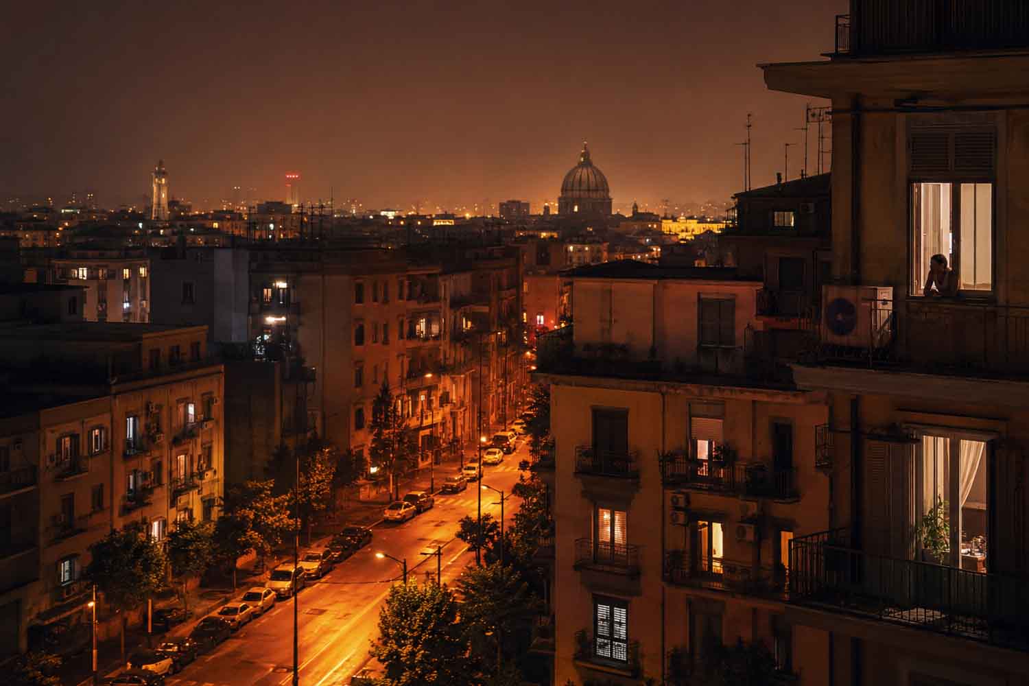
Night arrives, the windows remain open and the thermometer stops above 20 degrees. In the period 2006-2023, the comparison with the 1981-2010 climate average shows that in the 21 Italian regional capitals the tropical nights increased from 38 to 49 per year. Eleven more, almost 29%. In the same comparison, the days with a maximum temperature above 25 degrees went from 101 to 114. The Italian summer took almost two additional weeks and several hours of sleep.
The data comes from the report The transformations of Italy. The environment and energypublished by Istat. The document spans a century of territory, consumption and emissions; in the pages dedicated to the climate it leaves little margin for meteorological nostalgia: Italy is warming faster than the world average and the increase is becoming particularly visible in the cities, during the night and in the seas that surround it.
Eleven more tropical nights
Istat defines a “summer day” as a day with a maximum temperature above 25 degrees. The threshold mainly measures how much the warm period has lengthened; alone does not describe the violence of the individual waves. The tropical night, on the other hand, is the one in which the minimum does not drop below 20 degrees. A less flashy indicator of the afternoon peak, and often more burdensome for those who have to go through the heat without an overnight break.
The figures are averages calculated on the 21 regional capitals, therefore they do not represent every Italian municipality in the same way. However, they say that nocturnal cooling is becoming less frequent precisely in the places where more people live, including buildings, streets and surfaces capable of accumulating heat during the day and calmly returning it when the sun has already set. It is the phenomenon of urban heat islands, also referred to by Istat to explain why the increase in temperatures is more marked in cities.
2024 offers another measure of change. Compared to the 1991-2020 average, ground temperatures were higher by 0.7 degrees globally, by 1.5 degrees in Europe as a whole and by 1.3 degrees in Italy. The annual figure fluctuates, as it normally does; the direction of the series, much less.
Rome has warmed by about three degrees since the 1980s
In the graph dedicated to the European capitals, Rome stands out with a curve that has risen without particular timidity in recent decades. At the Collegio Romano meteorological station, the average temperature has increased by about three degrees from the beginning of the 1980s to today. Berlin, Madrid and Paris recorded an increase of around two degrees in the same comparison. In all four cities the strongest acceleration is concentrated in the last fifteen years.
The Roman data concerns a specific station and cannot be automatically transferred to the entire metropolitan area. However, a clear signal remains, collected in the center of a densely built city, where concrete, asphalt, traffic and lack of vegetation amplify the heat already produced by general heating.
Three degrees of increase in the average temperature of an urban series doesn’t just mean a few more strenuous afternoons. The number of hot nights, the length of the season in which buildings need to be cooled, the temperature of homes and the exposure of people who work outdoors or live in poorly insulated homes change. The air conditioner becomes an increasingly common defense, with a small drawback: it is expensive, it consumes energy and its motor discharges more heat out the window.
The temperature also rises in the Tyrrhenian and Adriatic
The Italian fever continues beyond the coast. Between 1940 and 2025 the average annual temperature of the Tyrrhenian Sea and the Adriatic increased by more than one degree, according to Istat, double the speed of the global average. The Mediterranean thus confirms its particular climate vulnerability.
One degree spread over a huge body of water may seem like little just written on one line. A warmer sea retains and transfers more energy, changes seasonal cycles and prolongs conditions favorable to high temperatures along coasts. Here too, heating does not proceed with the regularity of a thermostat: there are different years, areas and depths. The long-term trend, however, largely exceeds the fluctuations of a single summer.
Rivers lose water precisely in the warmer months
The change also appears in the flows of the main Italian rivers. By analyzing around a century of data, Istat has detected a trend towards contraction in outflows in the Tiber and Arno basins since the 1980s. The Po benefits from the natural regulation guaranteed by the pre-Alpine lakes, but seasonal analyzes also show a strong increase in summer low water levels in the Po basin, culminating in the water crisis of 2022.
Hotter, less cool nights and less availability of summer water thus end up meeting in the same period of the year. Water demand from cities and agriculture increases just as rivers reach their lowest levels. The Po crisis of 2022 was the most evident point in this trajectory, not an anomaly that appeared out of nowhere in the river bed.
In the meantime, Italian greenhouse gas emissions have decreased: after the peak reached in 2005, in 2024 they were almost 30% below the 1990 level. A reduction linked to changes in the economy, energy efficiency, the evolution of sources and the growth of renewables, as well as the sharp slowdowns in activity during economic crises and the pandemic. The climate, however, responds to the global concentration of greenhouse gases accumulated over time. The national decline is necessary; the heat already built into the system does not disappear at the rate of an annual graph.
In the averages considered by Istat, 49 tropical nights now occupy almost seven weeks of the year. The sun sets. The heat, more and more often, stays awake.
