
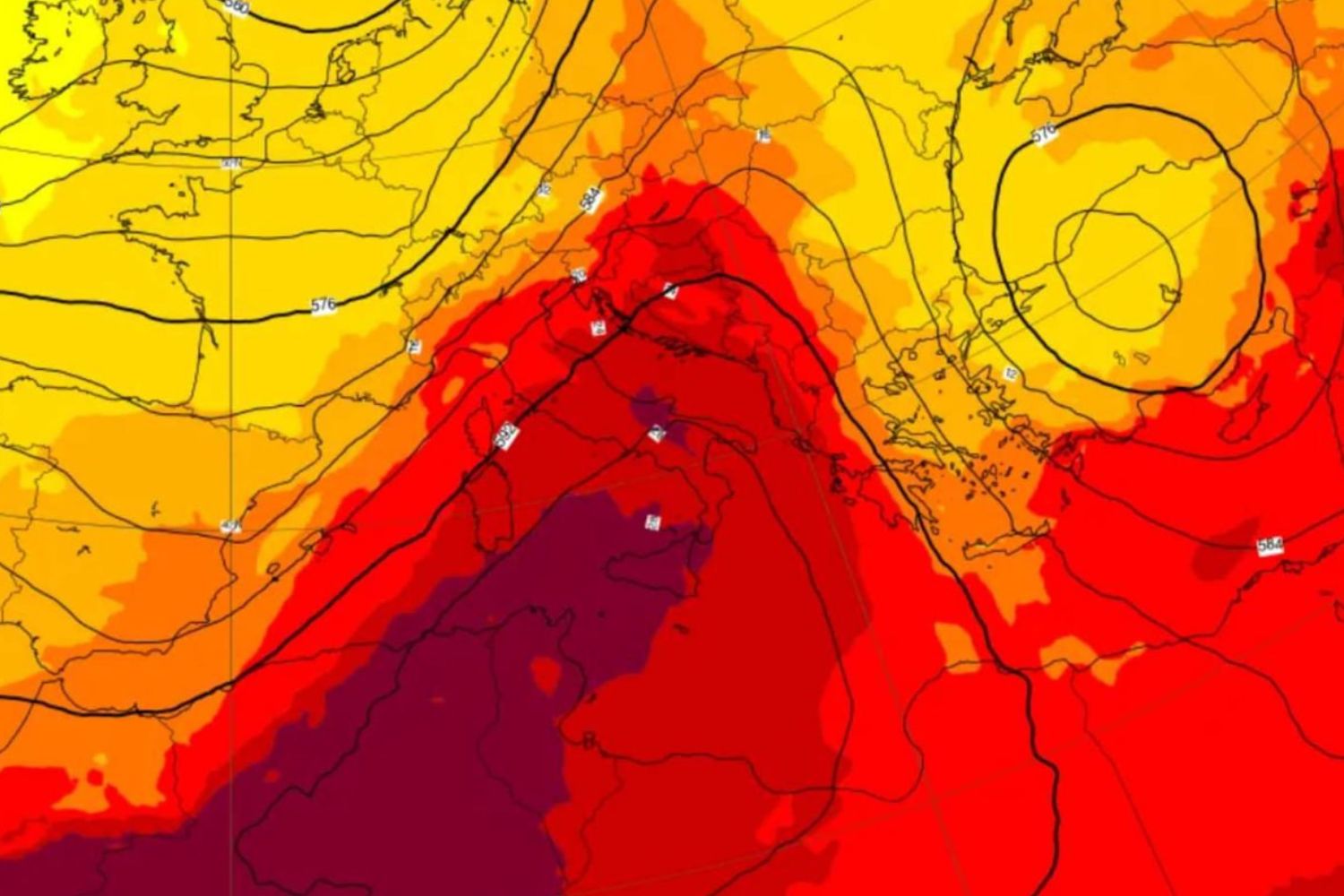
Today, Thursday 3 September, Bari remains the only Italian city with a red flag in the Ministry of Health’s heat wave bulletin, the daily monitoring of 27 cities that accompanies the country from 25 May to 20 September. A figure which, in itself, already tells the story of the downward spiral of the sixth heat wave of the season: just a week ago, on 27 and 28 August, the cities on maximum alert were two and nine respectively. According to the latest update from the ministry, from tomorrow, Friday 4 September, the red stickers will drop to zero: twelve capitals will remain in the yellow sticker (including Rome, Naples, Palermo, Bari and Cagliari), while the rest of the Peninsula will return to green. It is the confirmation, coming from the official numbers, that the African anticyclone that dominated the summer is losing ground.
And this isn’t just any summer. Data being processed at the main European weather centers indicates that this is the hottest summer season on record for the United Kingdom, Belgium and France. Italy has not remained on the sidelines: in Piedmont and Emilia-Romagna the territorial surveys have already surpassed the records of the torrid summer of 2003, the one which for twenty years remained the yardstick for all excessive heat.
The change of pace: Wednesday 9 September
The date indicated by the computer centers for the real disruption of the equilibrium is Wednesday 9 September. At that point a lowering of the Atlantic perturbed flow will descend from Northern Europe to the Mediterranean, where it will find a basin overheated by months of almost uninterrupted heat waiting for it. The clash between the two air masses, the descending one cold, the Mediterranean one still warm, will release sufficient energy into the atmosphere to trigger thunderstorms, even intense locally. The most visible phenomenon, however, will concern temperatures: a sudden drop, capable of causing a loss of up to 10°C compared to current values, starting from the northern regions and then extending to the rest of the country. Thermometers could fall below the averages for the period, a turnaround that until a few weeks ago seemed to be postponed indefinitely.
A truce, not (yet) the end word
It remains to be seen whether this passage will mark the definitive closure of the warm phase or whether, as long-term seasonal trends suggest, the anticyclone will return to make itself felt in the following weeks. The Ministry of Health, it should be remembered, will still keep the surveillance system active until September 20th: this means that, even after the Atlantic break, the bulletins will continue to monitor any new temperature increases city by city. What the numbers certify right now is that September 9th will mark a clear watershed compared to a summer which, between European records and heat waves that followed one another without interruption, rewrote more than one statistic.
