
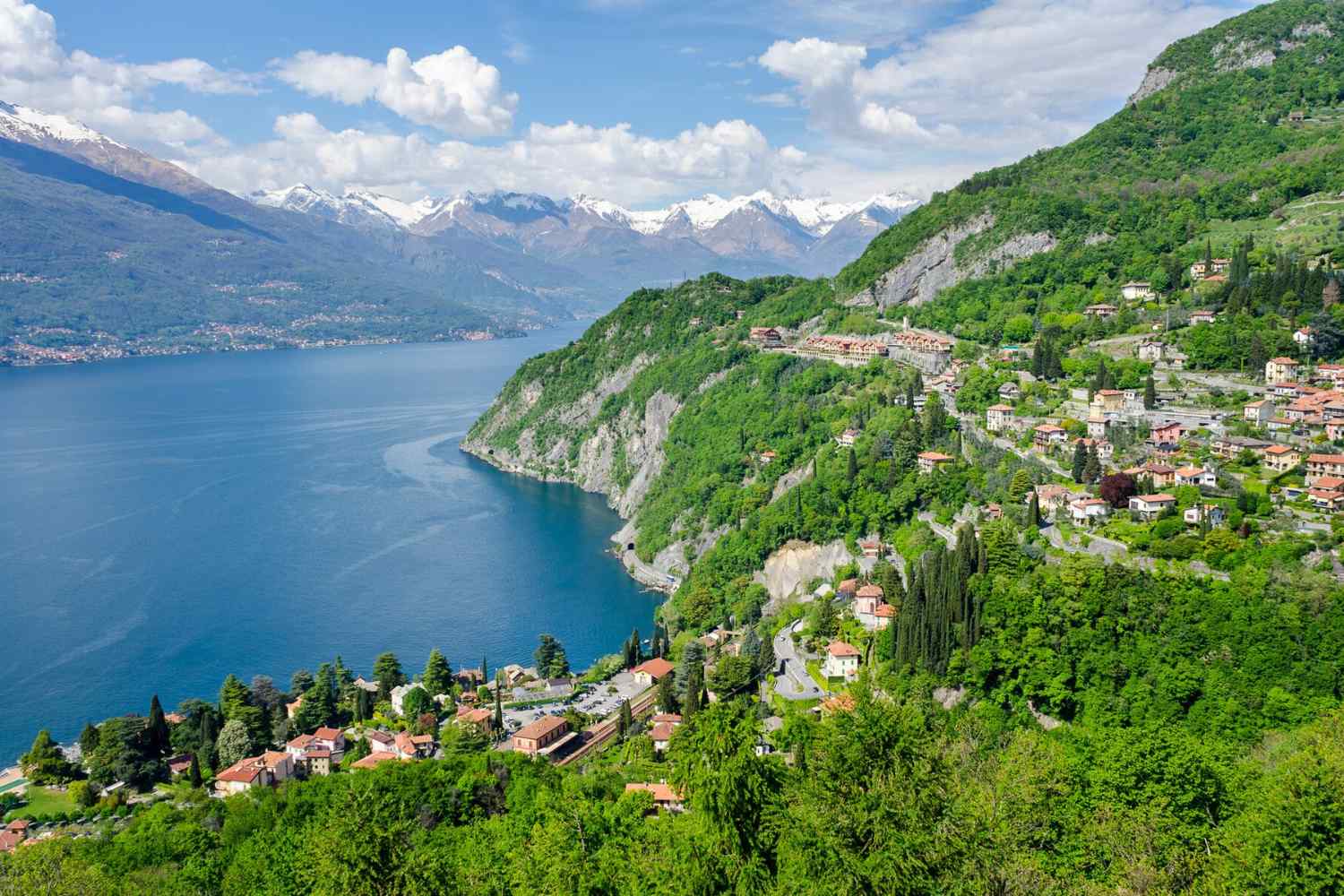
Spring is the most honest season for walking. Nature awakens, the days get longer, there is an infinite desire to get out of the house.
The five paths you find here were not chosen for their fame or the number of hashtags on Instagram. They were chosen because each one tells something different: there is the Alpine pass with its rock walls, there is the forgotten village in the Lazio hinterland, there is the shore of the lake traveled by merchants from centuries ago, there is the quietest and most unknown Umbria, and there is the path that follows in the footsteps of a martyred bishop of the 4th century among the valleys of Trentino. They range from a single day to four, from the plains to the Alpine pass. One for every type of walker.
Via Spluga
Thusis (Switzerland) → Chiavenna (Lombardy) – Central Alps
65 km – 4 days – Challenging – Max altitude 2115 m
Some roads have been around for so long that it seems impossible to walk them without feeling the weight of everything that has walked on them before us. Via Spluga is one of those. Born as a Roman consular road, for centuries it has stitched together different worlds – the Grisons one, the Rhaeto-Romansh one, the Walser one and the Lombard one – along a mule track which in many places still retains its original structure. Stone upon stone, as the Romans left it.
The starting point is Thusis, Switzerland. From here the trail almost immediately enters the Viamala — literally bad road — a dizzying gorge where the rock walls huddle around the Hinterrhein stream as if to protect something ancient. It is one of the most spectacular stretches of the entire route, and you tackle it at the beginning, as if to establish a pact with the path: it won’t be easy, but it will be absolutely worth it.
From Splügen, at 1457 metres, the route turns south and begins the ascent towards the highest point: the Spluga Pass, at 2115 meters above sea level. In April, conditions on this stretch are generally manageable with adequate equipment — it’s not impossible to find some remnants of snow, but that’s exactly what makes the landscape so dramatic and timeless. From the top onwards it’s all downhill: the Spluga Valley progressively opens up, the landscape softens, the altitude drops, and in Chiavenna – at just 333 meters – the journey ends like a well-shot film, with the Lombard city waiting for you with its stone courtyards, its restaurants and its air of a true destination of arrival.
Not to be missed along the route: the Cardinello Gorge, a canyon that sinks almost vertically towards the waters of the stream below, and the historic mills along the Liro stream near Chiavenna. Walking on the Via Spluga means crossing four cultures in four days: the landscape changes, the language changes, even the light changes.
Via Sett, via Spluga. From Thusis to Keyenna: two routes, a thousand emotions…
St. Vili’s Way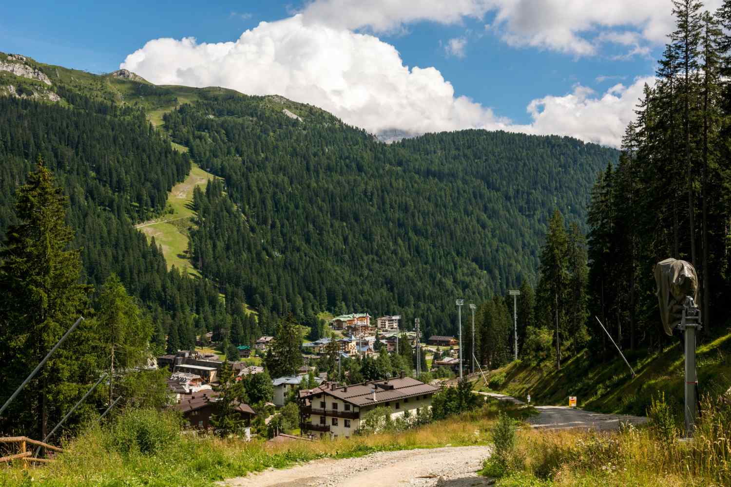
Madonna di Campiglio → Trento · Trentino
108 km – 5 stages – Medium-challenging – Spiritual and historical itinerary
There is something special about walking on a path that bears the name of the person who first walked it sixteen centuries ago. Vigilius was bishop of Trento in the 4th century, son of a cultured Roman family, appointed bishop at a young age and immediately engaged in widespread evangelization work in the Trentino valleys. Legend has it that he died in Spiazzo, in Val Rendena, struck by the hooves of farmers who did not want to hear people preach against their pagan rites to Saturn. He ended up in the Sarca river, dragged away by the current. His body was then recovered and taken in a funeral procession to Trento: that route is this journey.
Eighty-one kilometers between Madonna di Campiglio and Trento, distributed in five stages that cross Val Rendena, the Giudicarie, Stenico, Banale, Ranzo and Vezzanese valleys, finally descending towards the Adige valley floor and the city. Along the entire route there are chapels and churches dedicated to the saint – San Vigilio di Spiazzo, San Vigilio di Stenico, San Vigilio di Molveno – which punctuate the path like a chain of architectural testimonies of centuries-old devotion. The final destination is the Cathedral of Trento, where the circle closes.
From a landscape point of view, the route offers a Trentino different from the postcard one: not only the postcard Dolomites and the ski slopes, but the genuine valley floor, the rural villages, the coniferous woods which in April begin to smell in an unforgettable way. The stages have an average length of about 20 km with moderate differences in altitude: suitable for walkers with a minimum of experience but not reserved for specialists.
A route worth taking not only for the beauty of the landscape but for that rare sensation of walking on a true, dense history rooted in the territory.
Wayfarer’s Path
Lecco – Morbegno – Lake Como and Valtellina, Lombardy
70 km – 3–4 days – Medium
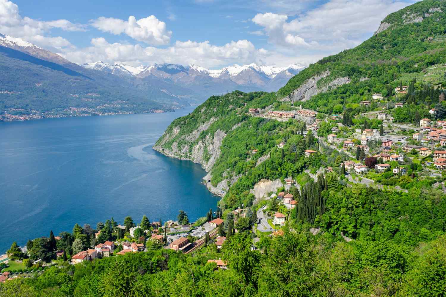
There is a phrase by Alessandro Manzoni that practically everyone in Italy knows: “That branch of Lake Como…”. Well, the Sentiero del Viandante runs exactly along that eastern shore, the Lecco branch, and then continues in Valtellina up to Morbegno. Approximately 70 kilometers of mule tracks and paths that merchants, pilgrims and messengers of centuries ago knew well, today marked by orange trail signs and can be followed in complete tranquility.
It is a journey that is made with eyes wide open. The panoramic points follow one another non-stop: the lake below, the mountains above, the villages clinging to the slopes like decorations on a cake. Varenna, with its alleys that descend directly into the water. Bellano and its ravine, a gorge carved out by the Pioverna torrent, which alone is worth the detour. Then, after crossing the border with Valtellina, the landscape changes character and opens onto the Orobic shore, more rugged and less photographed but perhaps even more authentic.
March and April are probably the best time to travel it: the temperatures on the lake are already mild, spring brings flowers to the terraces, and the paths are not yet crowded with summer tourists. It can be easily organized over several days with overnight stays in the villages along the route, or broken into stages to be done over the weekend using the train, the railway line follows the shore of the lake and allows you to reach the departure and arrival points without a car.
Guide to the Wayfarer’s path
Three Villages Walk
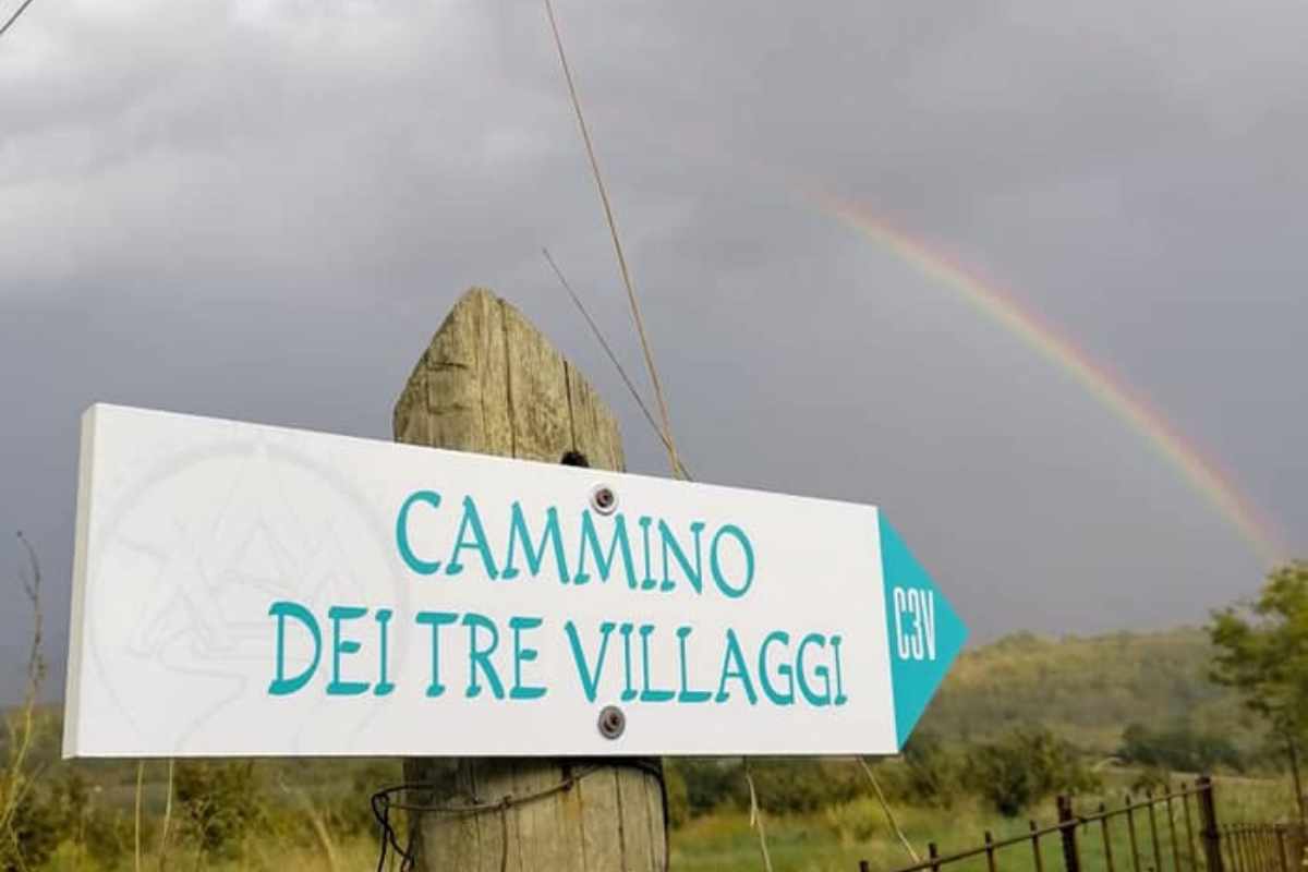
Villa San Giovanni in Tuscia – Alto Lazio (near Viterbo)
20 km – 1 day – Easy
It is the smallest path in Italy. Twenty kilometers, one day only, inaugurated in May 2021 in Tuscia, a few kilometers from Viterbo and less than an hour from Rome. Yet in that single day there is everything you could ask for in a walk: thousand-year history, largely intact nature, villages that seem to have come from another era, and the simple pleasure of walking without haste.
The route is a circular route and starts from Villa San Giovanni in Tuscia, a small village surrounded by woods and olive groves with roots that date back to Roman times. From here you reach Barbarano Romano, home of the Marturanum Regional Park, where Etruscan history is not only in the museums but literally under your feet: necropolises dug into the tuff, vie cave, cliffs that seem sculpted by water and time in equal measure. The third village is Blera, renowned for the production of extra virgin olive oil and very rich in historical stratifications, Etruscan, Roman, early Christian, all visible to the naked eye for those who want to look around.
But what makes this path truly special, beyond the history, is the landscape of Tuscia in spring: tuff gorges, shady valleys, medieval bridges, ancient hollow streets where the light filters laterally like in a natural cathedral. All this in Lazio, behind your home, to remind you that extraordinary places don’t always need to be far away.
The walk is accessible to all, at the symbolic cost of 5 euros with mandatory reservation via email to cammini.freedom@gmail.com. At the beginning you are given a brochure with map and directions. By collecting the stamps in the designated bars along the route you eventually obtain the Etruscan Wayfarer certificate: small, but more satisfying than it seems.
Walk of the Silent Villages
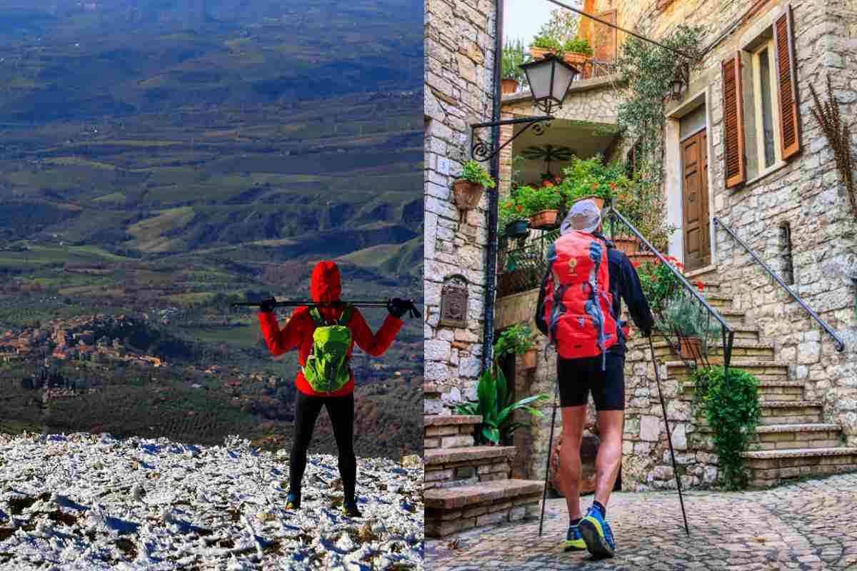
Amerini Mountains – south-western Umbria
91 km – 5 stages – Medium
If you are looking for a corner of Umbria that is not yet on the usual tourist circuits, far from Assisi, from Spello, from buses parked in rows, this is the place. The Cammino dei Borghi Silenti winds along the northern slopes of the Amerini Mountains, in the south-western part of the region, and is one of those routes that it is hard to believe still exists: 91 kilometers in a ring, 5 stages, 13 villages crossed, and a quiet that in the longer wooded stretches becomes almost physical, almost palpable.
The route revolves around Monte Croce di Serra, the highest point of the Amerini Mountains at almost 1000 meters above sea level, and takes place mainly on dirt roads, paths through holm oak and chestnut woods and short stretches of secondary asphalt. There are no technically difficult passages: anyone with a fair amount of training can easily tackle it on foot. For those who prefer cycling, it can also be explored by mountain bike, ebike or gravel.
The five stages pass through almost completely uninhabited villages that seem suspended in time. It starts from Tenaglie towards Melezzole (27.5 km, with a 22 variant), crossing Guardea, Cocciano and Santa Restituta. The second stage leads to Morre in 17 km, with the passage to the summit of Monte Croce di Serra. The third, among the most panoramic, arrives in Civitella del Lago through Acqualoreto and Scoppieto. The fourth, renamed The paths of Bacchusdescends onto Baschi among terraced vineyards: here pilgrims are entitled to a free wine tasting in the local cellars, which never hurts after a morning of walking. The fifth and final stage takes you back to Tenaglie in 16 km, with the possibility of visiting an Etruscan necropolis along the way.
Ideal for those who want a complete experience with multiple stages but without the logistical pressure of long treks. Structured like Santiago and the Via Francigena, credential included, it is also an excellent workout for those who want to approach those more famous routes with already trained legs.
Walk of the Silent Villages. Official hiking guide
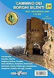
Walk of the Silent Villages (Map)
A final note. These five paths are very different from each other in length, difficulty and character. But they all share one thing: the fact of existing far from the main circuits, of being accessible in spring without crowds and without insurmountable logistical stress, and of offering something that the most famous destinations struggle to guarantee, that feeling of truly discovering something that not everyone knows yet. Put them on the calendar before everyone discovers them.
